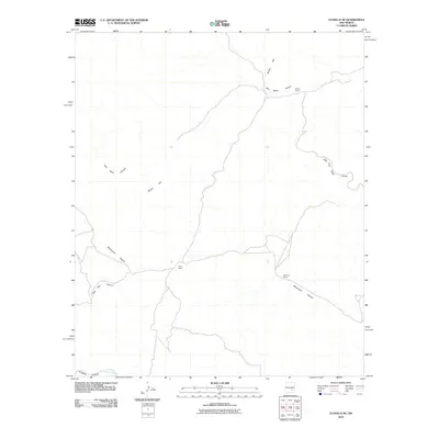
2010 Map of Flying H NE
USGS Topo · Published 2010About this map
Watson Ranch and Goodrum Ranch anchor this landscape in the high desert of Chaves County, where the topography is defined by a series of significant drainage systems. The map illustrates a network of deep canyons cutting through the terrain, including Twin Butte Canyon and the expansive Monument Canyon. These features suggest a ranching economy reliant on the natural geography and seasonal water flow of features like Crooked Creek.
Find a feature on this map
10 named features on this map. Tap any name to fly to it.
Don’t see what you’re looking for? This feature index may not catch every label — zoom into the map to look around manually.
Map Details
Editions of this 2010 Flying H NE Map
This is the sole edition of this map. No revisions or reprints were ever made.
Other maps of this area

1955 · Roswell
USGS Topo · 1:250,000

1958 · Roswell
USGS Topo · 1:250,000

1961 · Flying H
USGS Topo · 1:62,500

1961 · Indian Bluff
USGS Topo · 1:62,500

1961 · Tinnie
USGS Topo · 1:62,500

1962 · Roswell
USGS Topo · 1:250,000

1962 · Horseshoe Bend
USGS Topo · 1:62,500

1979 · Roswell
USGS Topo · 1:100,000

1984 · Ruidoso
USGS Topo · 1:100,000
1988 · Sunset
USGS Topo · 1:24,000