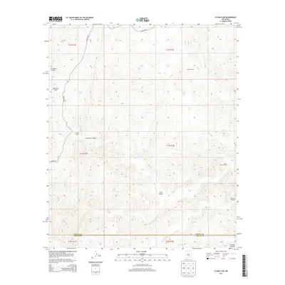
2013 Map of Flying H NW
USGS Topo · Published 2013About this map
Slaughter Ranch and McKnight Ranch anchor this landscape along the border of Lincoln and Chaves Counties in the early 21st century. The map reveals a drainage system defined by deep cuts such as Twin Butte Canyon, Monument Canyon, and Chivo Canyon, which funnel toward the southern reaches of the quadrangle. The presence of the Skeen Ranch Airport in the east suggests the importance of private aviation in managing these expansive ranching operations. The topography is further marked by essential water resources like Shack Tank and the seasonal flow of Crooked Cr, which carves through Crooked Canyon near the southern boundary. This 2013 survey illustrates the enduring patterns of land use and water management in the high desert, where named roads like Co Road E030 provide the primary connections between isolated homesteads and grazing lands.
Find a feature on this map
19 named features on this map. Tap any name to fly to it.
Don’t see what you’re looking for? This feature index may not catch every label — zoom into the map to look around manually.
Map Details
Editions of this 2013 Flying H NW Map
This is the sole edition of this map. No revisions or reprints were ever made.
Other maps of this area

1955 · Roswell
USGS Topo · 1:250,000

1958 · Roswell
USGS Topo · 1:250,000

1961 · Flying H
USGS Topo · 1:62,500

1961 · Lincoln
USGS Topo · 1:62,500

1961 · Tinnie
USGS Topo · 1:62,500

1962 · Roswell
USGS Topo · 1:250,000

1963 · Clements Ranch
USGS Topo · 1:24,000

1963 · Deadman Lake
USGS Topo · 1:24,000

1984 · Ruidoso
USGS Topo · 1:100,000
1988 · Sunset
USGS Topo · 1:24,000