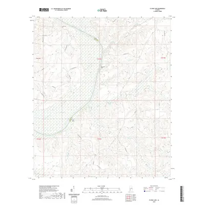
2020 Map of Flynns Lake
USGS Topo · Published 2020About this map
The Alabama River carves a serpentine path through the heart of the coastal plain, marking the border between Monroe and Clarke counties. This riverine landscape is defined by its dramatic elevation changes and oxbow formations, most notably at Marshalls Bluff and the broad Flynn Bar. The interior is crisscrossed by a complex network of tributaries such as Hollinger Cr and Randons Creek, which feed into larger bodies like Broughton Lake and Flynns Lake. Local history is anchored by the Linder Cem in the northern reach, while the presence of named access points like Dales Ferry Rd and Barlow Bend Rd indicates long-standing terrestrial routes through the wetlands. The terrain reveals a pattern of rural land use, where high ground is connected by localized roads like Shiloh Rd and Rocky Hill Rd, avoiding the seasonal flooding of the many surrounding creeks.
Find a feature on this map
40 named features on this map. Tap any name to fly to it.
Don’t see what you’re looking for? This feature index may not catch every label — zoom into the map to look around manually.
Map Details
Editions of this 2020 Flynns Lake Map
This is the sole edition of this map. No revisions or reprints were ever made.
Other maps of this area

1953 · Andalusia
USGS Topo · 1:250,000

1957 · Andalusia
USGS Topo · 1:250,000

1972 · Frisco City
USGS Topo · 1:24,000

1972 · Uriah East
USGS Topo · 1:24,000

1972 · Mexia
USGS Topo · 1:24,000

1972 · Chrysler
USGS Topo · 1:24,000

1972 · Uriah West
USGS Topo · 1:24,000

1972 · Flynns Lake
USGS Topo · 1:24,000

1972 · Gainestown
USGS Topo · 1:24,000

1972 · Claiborne
USGS Topo · 1:24,000