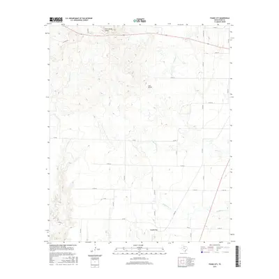
2016 Map of Foard City
USGS Topo · Published 2016About this map
Foard City serves as the central hub of this North Texas landscape, situated in an area defined by a complex network of seasonal drainages and local ranching roads. The terrain is notably marked by Dixie Mound, a prominent elevation that stands apart from the surrounding plains. A system of creeks, including Beaver Cr and its tributary Middle Beaver Cr, carves through the countryside, illustrating the hydrological patterns of Foard County.
Find a feature on this map
36 named features on this map. Tap any name to fly to it.
Don’t see what you’re looking for? This feature index may not catch every label — zoom into the map to look around manually.
Map Details
Editions of this 2016 Foard City Map
This is the sole edition of this map. No revisions or reprints were ever made.
Other maps of this area

1932 · Vivian
USGS Topo · 1:62,500

1954 · Wichita Falls
USGS Topo · 1:250,000

1955 · Lawton
USGS Topo · 1:250,000

1958 · Wichita Falls
USGS Topo · 1:250,000

1958 · Medicine Mound
USGS Topo · 1:62,500

1960 · Teacup Mountain
USGS Topo · 1:62,500

1966 · Truscott North
USGS Topo · 1:24,000

1966 · Halsell Ranch
USGS Topo · 1:24,000

1966 · Big Four Ranch
USGS Topo · 1:24,000

1966 · Crowell
USGS Topo · 1:24,000