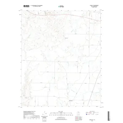
2019 Map of Foard City
USGS Topo · Published 2019About this map
Foard City serves as the central point of interest in this high-plains landscape, where the rural road network and ephemeral watercourses reveal the ranching character of North Texas. The terrain is marked by significant drainage patterns, with the headwaters of Beaver Cr and Middle Beaver Cr carving across the southern half of the map. To the north, the elevation rises toward Dixie Mound and the distinctively named Stearns Springs Canyon, indicating the transition into more broken country near the county line. The map captures a modern view of land use, where established routes like R B Ranch Rd and Teacup Rd connect isolated homesteads and pastures. This 2019 survey provides genealogists and local historians an exact record of the contemporary Foard County landscape, illustrating how the cattle-ranching legacy continues to shape the region's geography and infrastructure.
Find a feature on this map
36 named features on this map. Tap any name to fly to it.
Don’t see what you’re looking for? This feature index may not catch every label — zoom into the map to look around manually.
Map Details
Editions of this 2019 Foard City Map
This is the sole edition of this map. No revisions or reprints were ever made.
Other maps of this area

1932 · Vivian
USGS Topo · 1:62,500

1954 · Wichita Falls
USGS Topo · 1:250,000

1955 · Lawton
USGS Topo · 1:250,000

1958 · Wichita Falls
USGS Topo · 1:250,000

1958 · Medicine Mound
USGS Topo · 1:62,500

1960 · Teacup Mountain
USGS Topo · 1:62,500

1966 · Truscott North
USGS Topo · 1:24,000

1966 · Halsell Ranch
USGS Topo · 1:24,000

1966 · Big Four Ranch
USGS Topo · 1:24,000

1966 · Crowell
USGS Topo · 1:24,000