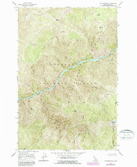
1966 Map of Fog Mountain
USGS Topo · Published 1987About this map
The Selway River and Middle Fork Clearwater River converge within a landscape of steep drainages and mountain peaks as they appeared during the 1960s and 1980s. This survey, located within the Nez Perce National Forest and the Nez Perce and Selway-Bitterroot Wilderness, documents a wilderness infrastructure defined by a complex network of Pack Trails. Notable high points like Fog Mountain, Otter Butte, and Ballinger Point overlook a territory dissected by numerous named drainages including Maiden Creek, Coon Creek, and Ballinger Creek. The map provides specific locations for Moose Meadows and the alpine Highline Lakes along Highline Ridge, offering a clear view of the natural corridors used for travel and forest management before modern revisions.
Find a feature on this map
30 named features on this map. Tap any name to fly to it.
Don’t see what you’re looking for? This feature index may not catch every label — zoom into the map to look around manually.
Map Details
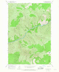
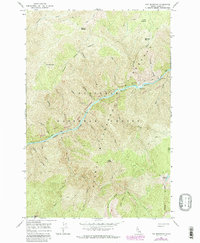
Editions of this 1966 Fog Mountain Map
3 editions found
Other maps of this area

1911 · Lolo
USGS Topo · 1:250,000

1913 · Lolo
USGS Topo · 1:250,000

1956 · Elk City
USGS Topo · 1:250,000

1956 · Hamilton
USGS Topo · 1:250,000

1959 · Hamilton
USGS Topo · 1:250,000

1960 · Elk City
USGS Topo · 1:250,000

1960 · Hamilton
USGS Topo · 1:250,000

1964 · Hamilton
USGS Topo · 1:250,000

1966 · Selway Falls
USGS Topo · 1:24,000

1966 · Anderson Butte
USGS Topo · 1:24,000