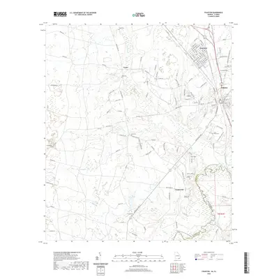
2020 Map of Folkston
USGS Topo · Published 2020About this map
Traders Hill stands as a prominent historical landmark overlooking the bend of the Saint Marys River, where the Georgia and Florida state line follows the winding water. This area of Charlton County is characterized by a dense network of family and community burial grounds, including Bethel Cem, Sardis Cem, and Neeley Cem, reflecting the deep roots of the local population. The map illustrates the transition from the organized street grids of Homeland and the county seat at Folkston, which hosts the Charlton County Courthouse, to the more dispersed rural settlements like Paxton. The Csx Transportation rail line runs north-south through the heart of these communities, paralleling the older river-based geography. To the south, the Saint Marys River State Trail highlights the importance of the river corridor for both transportation and regional heritage.
Find a feature on this map
128 named features on this map. Tap any name to fly to it.
Don’t see what you’re looking for? This feature index may not catch every label — zoom into the map to look around manually.
Map Details
Editions of this 2020 Folkston Map
This is the sole edition of this map. No revisions or reprints were ever made.
Other maps of this area

1917 · Boulogne
USGS Topo · 1:62,500

1917 · Hilliard
USGS Topo · 1:62,500

1918 · Folkston
USGS Topo · 1:62,500

1918 · Moniac
USGS Topo · 1:62,500

1919 · Hilliard
USGS Topo · 1:62,500

1919 · Boulogne
USGS Topo · 1:62,500

1942 · Moniac
USGS Topo · 1:62,500

1948 · Jacksonville
USGS Topo · 1:250,000

1954 · Valdosta
USGS Topo · 1:250,000

1957 · Jacksonville
USGS Topo · 1:250,000