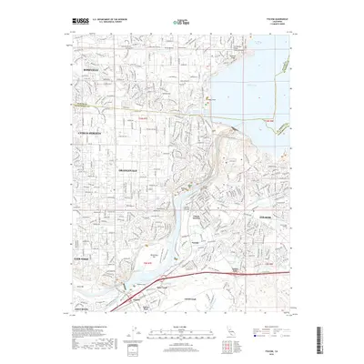
1914 Map of Folsom
USGS Topo · Published 1922About this map
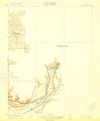
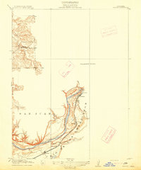
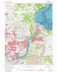
Folsom and its industrial surroundings take center stage in this 1908 survey, revealing the early 20th-century landscape of the American River corridor. The geography is defined by the winding river and its named bars, including Nigger Bar, Mississippi Bar, and Sailor Bar, which reflect the region's enduring connection to hydraulic and placer mining history. At the river's edge near Folsom, a prominent Power House signifies the importance of hydroelectric development during this era.
Find a feature on this map
14 named features on this map. Tap any name to fly to it.
Don’t see what you’re looking for? This feature index may not catch every label — zoom into the map to look around manually.
Map Details
Editions of this 1914 Folsom Map
2 editions found
Historical Maps of Roseville Through Time
10 maps found
1914 Folsom
Sacramento County, CA
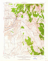
1941 Folsom
Sacramento County, CA

1944 Folsom
Sacramento County, CA
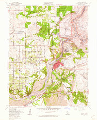
1954 Folsom
Sacramento County, CA
1967 Folsom
Sacramento County, CA
1975 Folsom
Sacramento County, CA
2012 Folsom
Sacramento County, CA
2015 Folsom
Sacramento County, CA
2018 Folsom
Sacramento County, CA
2022 Folsom
Sacramento County, CA