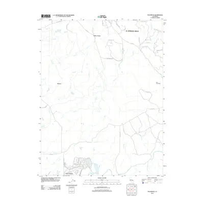
2012 Map of Folsom SE
USGS Topo · Published 2012About this map
Rancho Murieta and the expanding southern reaches of El Dorado Hills anchor this 2012 study of the California landscape. The terrain is defined by a dense network of seasonal and perennial waterways, including the Cosumnes River and its various tributaries such as Deer Cr, Slate Cr, and Creuis Cr. Traces of the region's agricultural and rural foundations are visible in family-named landmarks and infrastructure like Cothrin Ranch Rd and the Carson Creek School.
Find a feature on this map
58 named features on this map. Tap any name to fly to it.
Don’t see what you’re looking for? This feature index may not catch every label — zoom into the map to look around manually.
Map Details
Editions of this 2012 Folsom SE Map
This is the sole edition of this map. No revisions or reprints were ever made.
Other maps of this area

1889 · Jackson
USGS Topo · 1:125,000

1891 · Sacramento
USGS Topo · 1:125,000

1891 · Placerville
USGS Topo · 1:125,000

1892 · Jackson
USGS Topo · 1:125,000

1892 · Sacramento
USGS Topo · 1:125,000

1892 · Placerville
USGS Topo · 1:125,000

1893 · Placerville
USGS Topo · 1:125,000

1893 · Sacramento
USGS Topo · 1:125,000

1894 · Lodi
USGS Topo · 1:125,000

1897 · Jackson
USGS Topo · 1:125,000