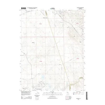
2015 Map of Folsom SE
USGS Topo · Published 2015About this map
The Cosumnes River defines the southern reach of this landscape, where the foothills of the Sierra Nevada begin their ascent. In this transition zone between the Sacramento Central Valley and the rising uplands, the master-planned community of Rancho Murieta stands near a trio of man-made water bodies: Lake Calero, Lake Chesbro, and Lake Clementia. The map captures a mix of modern residential development and open ranch land, traced by the historic route of the El Dorado Trail as it winds toward the northeast corner. This corridor follows the drainage patterns of numerous seasonal streams, including Carson Creek and Deer Creek. To the east, the topography becomes more pronounced at Ben Bolt and along the Ben Bolt Ridge, while old naming conventions persist at locations like Malby Crossing and Walltown, reflecting the area's long history of habitation and transit between the valley floor and the gold country.
Find a feature on this map
64 named features on this map. Tap any name to fly to it.
Don’t see what you’re looking for? This feature index may not catch every label — zoom into the map to look around manually.
Map Details
Editions of this 2015 Folsom SE Map
This is the sole edition of this map. No revisions or reprints were ever made.
Other maps of this area

1889 · Jackson
USGS Topo · 1:125,000

1891 · Sacramento
USGS Topo · 1:125,000

1891 · Placerville
USGS Topo · 1:125,000

1892 · Jackson
USGS Topo · 1:125,000

1892 · Sacramento
USGS Topo · 1:125,000

1892 · Placerville
USGS Topo · 1:125,000

1893 · Placerville
USGS Topo · 1:125,000

1893 · Sacramento
USGS Topo · 1:125,000

1894 · Lodi
USGS Topo · 1:125,000

1897 · Jackson
USGS Topo · 1:125,000