
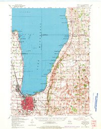
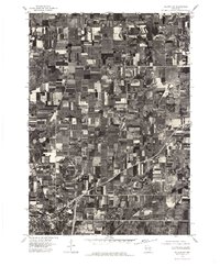
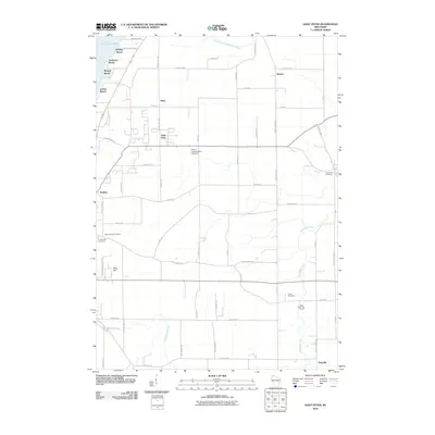
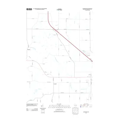
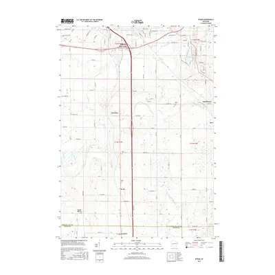
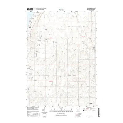
1980 Map of Fond Du Lac
USGS Topo · Published 1980About this map
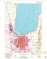
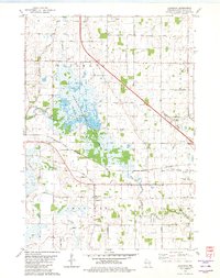
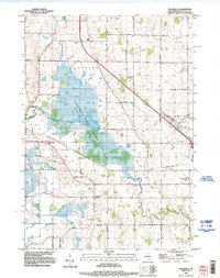
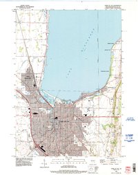
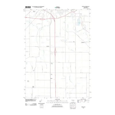
The south shore of Lake Winnebago anchors this landscape, where the urban center of Fond du Lac serves as a hub for regional transit and institutions. The 1980 survey reveals a dense network of Catholic heritage through sites like St Josephs Ch and Marian College, alongside healthcare landmarks such as St Agnes Hospital. To the south, the massive marshland of the Horicon National Wildlife Refuge dominates the terrain, illustrating the ecological significance of the Upper Rock River basin.
Find a feature on this map
172 named features on this map. Tap any name to fly to it.
Don’t see what you’re looking for? This feature index may not catch every label — zoom into the map to look around manually.
Map Details
Editions of this 1980 Fond Du Lac Map
This is the sole edition of this map. No revisions or reprints were ever made.
Historical Maps of Oshkosh Through Time
44 maps found
1955 Fond Du Lac
Fond du Lac County, WI
1955 Fond Du Lac
Fond du Lac County, WI

1974 Byron
Fond du Lac County, WI
1974 Dundee
Fond du Lac County, WI
1975 Waupun NE
Fond du Lac County, WI
1975 Waupun NW
Fond du Lac County, WI
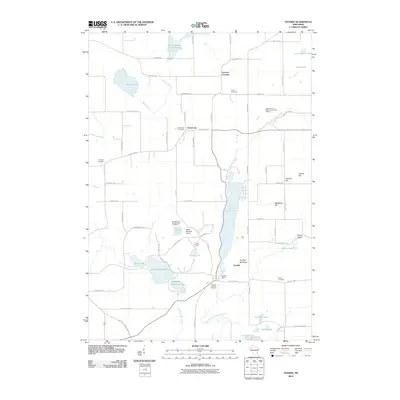
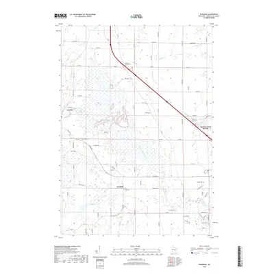
1980 Eldorado
Fond du Lac County, WI
1980 Fond Du Lac
Fond du Lac County, WI
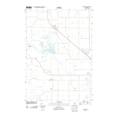
1980 Waupun North
Fond du Lac County, WI
1992 Eldorado
Fond du Lac County, WI
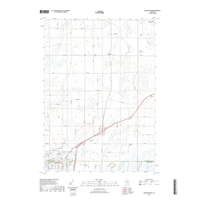
1992 Fond Du Lac
Fond du Lac County, WI
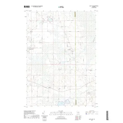
1992 Saint Cloud
Fond du Lac County, WI
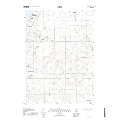
1992 Saint Peter
Fond du Lac County, WI
1999 Dundee
Fond du Lac County, WI
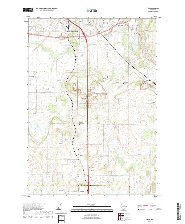
2010 Byron
Fond du Lac County, WI
2010 Dundee
Fond du Lac County, WI
2010 Eldorado
Fond du Lac County, WI
2010 Saint Cloud
Fond du Lac County, WI
2010 Saint Peter
Fond du Lac County, WI
2010 Waupun North
Fond du Lac County, WI
2013 Byron
Fond du Lac County, WI
2013 Dundee
Fond du Lac County, WI
2013 Eldorado
Fond du Lac County, WI
2013 Saint Cloud
Fond du Lac County, WI
2013 Saint Peter
Fond du Lac County, WI
2013 Waupun North
Fond du Lac County, WI
2015 Byron
Fond du Lac County, WI
2015 Dundee
Fond du Lac County, WI
2015 Eldorado
Fond du Lac County, WI
2015 Saint Cloud
Fond du Lac County, WI
2015 Saint Peter
Fond du Lac County, WI
2015 Waupun North
Fond du Lac County, WI
2018 Byron
Fond du Lac County, WI
2018 Dundee
Fond du Lac County, WI
2018 Eldorado
Fond du Lac County, WI
2018 Saint Cloud
Fond du Lac County, WI
2018 Saint Peter
Fond du Lac County, WI
2018 Waupun North
Fond du Lac County, WI
2022 Byron
Fond du Lac County, WI
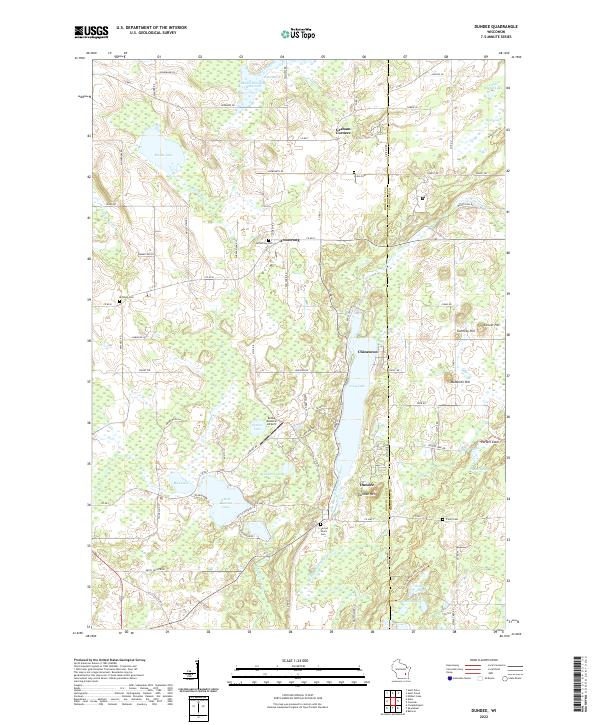
2022 Dundee
Fond du Lac County, WI
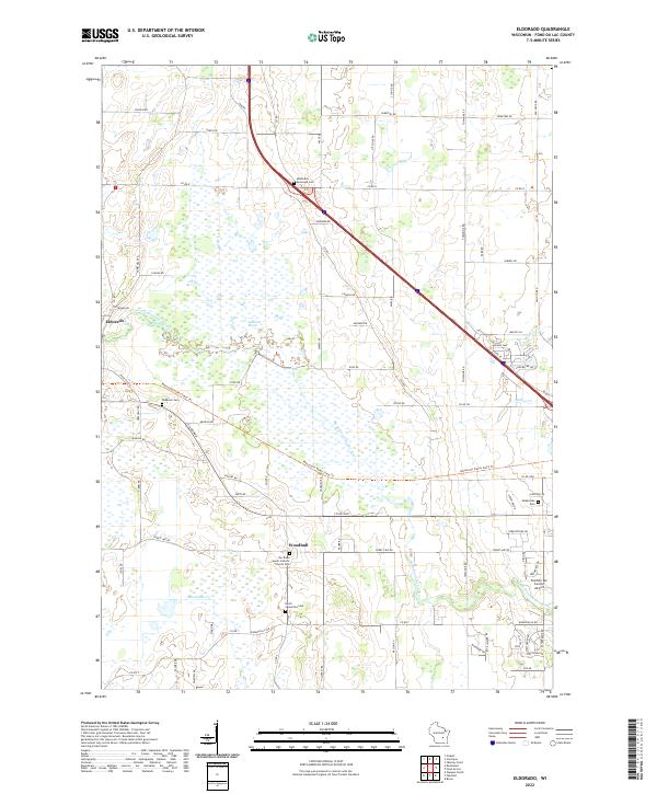
2022 Eldorado
Fond du Lac County, WI
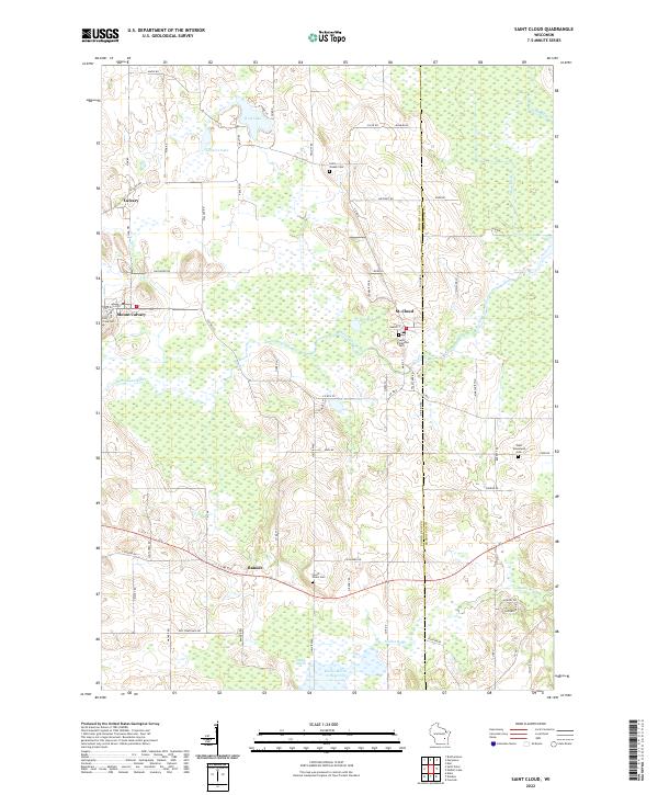
2022 Saint Cloud
Fond du Lac County, WI
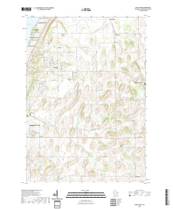
2022 Saint Peter
Fond du Lac County, WI
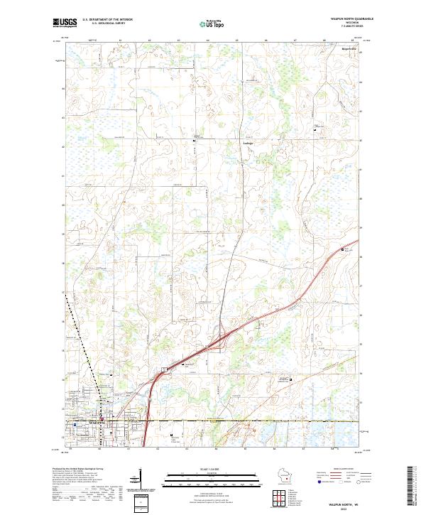
2022 Waupun North
Fond du Lac County, WI