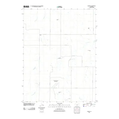
2010 Map of Fondis
USGS Topo · Published 2010About this map
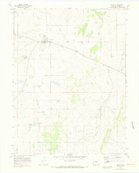
Fondis sits at the junction of several county roads in Elbert County, serving as the central point of this rural High Plains landscape. The drainage network of the area is defined by the diverging paths of West Bijou Creek and East Bijou Creek, which are fed by numerous smaller tributaries like Spring Branch and Antelope Creek. This topography is shaped by a series of small-scale water management projects, including several family-named landmarks such as the Ramsey Dam, George Mason Dam, and Trojanovich Dam. The large Saran Erosion Control and Recreation Dam Number 1 indicates the historical importance of soil conservation in this agricultural region. To the northeast, the terrain rises toward Eagle Rock, one of the few prominent geological landmarks in an area otherwise dominated by open rangeland and a systematic grid of county roads.
Find a feature on this map
22 named features on this map. Tap any name to fly to it.
Don’t see what you’re looking for? This feature index may not catch every label — zoom into the map to look around manually.
Map Details
Editions of this 2010 Fondis Map
This is the sole edition of this map. No revisions or reprints were ever made.
Other maps of this area

1953 · Denver
USGS Topo · 1:250,000

1957 · Denver
USGS Topo · 1:250,000

1958 · Denver
USGS Topo · 1:250,000

1960 · Denver
USGS Topo · 1:250,000

1970 · Big Gulch
USGS Topo · 1:24,000
1970 · Fondis
USGS Topo · 1:24,000
1970 · Bijou SW
USGS Topo · 1:24,000
1970 · Bijou Basin
USGS Topo · 1:24,000
1970 · Kiowa
USGS Topo · 1:24,000
1970 · Ramah South
USGS Topo · 1:24,000