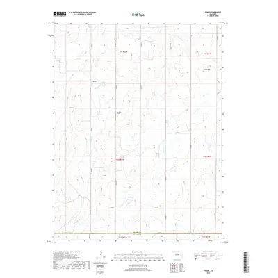
2019 Map of Fondis
USGS Topo · Published 2019About this map
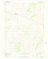
The settlement of Fondis occupies the rolling high plains of Elbert County, centered at a rural crossroads that has served as a local anchor for generations. The landscape is defined by the drainage systems of W Bijou Cr and E Bijou Cr, which carve subtle valleys across the terrain. These waterways, along with smaller tributaries like Spring Br and Station Gulch, illustrate the vital role of water management in this arid agricultural region.
Find a feature on this map
29 named features on this map. Tap any name to fly to it.
Don’t see what you’re looking for? This feature index may not catch every label — zoom into the map to look around manually.
Map Details
Editions of this 2019 Fondis Map
This is the sole edition of this map. No revisions or reprints were ever made.
Other maps of this area

1953 · Denver
USGS Topo · 1:250,000

1957 · Denver
USGS Topo · 1:250,000

1958 · Denver
USGS Topo · 1:250,000

1960 · Denver
USGS Topo · 1:250,000

1970 · Big Gulch
USGS Topo · 1:24,000
1970 · Fondis
USGS Topo · 1:24,000
1970 · Bijou SW
USGS Topo · 1:24,000
1970 · Bijou Basin
USGS Topo · 1:24,000
1970 · Kiowa
USGS Topo · 1:24,000
1970 · Ramah South
USGS Topo · 1:24,000