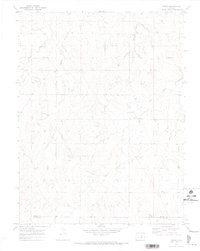
1970 Map of Fondis
USGS Topo · Published 1973About this map
Fondis and the surrounding high plains of eastern Colorado are documented here following a 1968 aerial survey. The landscape is defined by the drainage networks of West Bijou Creek and East Bijou Creek, which cut through the undulating terrain alongside tributaries like Spring Branch and Station Gulch. The map captures a primarily agricultural and ranching district near the boundary of Elbert and El Paso Counties, characterized by widely dispersed homesteads and rural landmarks.
Find a feature on this map
13 named features on this map. Tap any name to fly to it.
Don’t see what you’re looking for? This feature index may not catch every label — zoom into the map to look around manually.
Map Details
Editions of this 1970 Fondis Map
This is the sole edition of this map. No revisions or reprints were ever made.
Other maps of this area

1953 · Denver
USGS Topo · 1:250,000

1957 · Denver
USGS Topo · 1:250,000

1958 · Denver
USGS Topo · 1:250,000

1960 · Denver
USGS Topo · 1:250,000

1970 · Big Gulch
USGS Topo · 1:24,000
1970 · Bijou SW
USGS Topo · 1:24,000
1970 · Bijou Basin
USGS Topo · 1:24,000
1970 · Kiowa
USGS Topo · 1:24,000
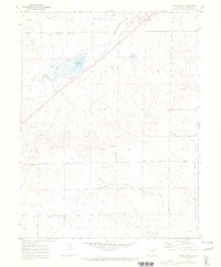
1970 · Ramah South
USGS Topo · 1:24,000
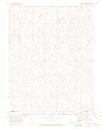
1970 · Ramah North
USGS Topo · 1:24,000