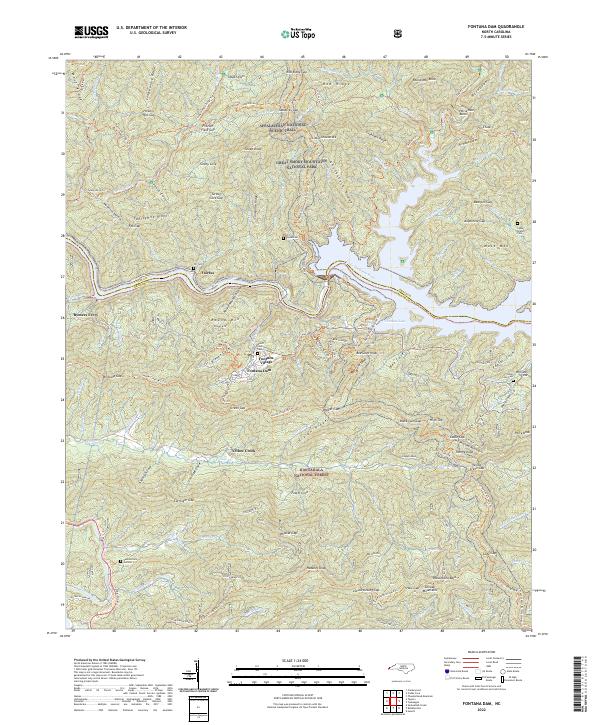
2022 Map of Fontana Dam
USGS Topo · Published 2022About this map
Fontana Lake dominates the central landscape of this western North Carolina survey, marking the border between the Great Smoky Mountains National Park to the north and the Nantahala National Forest to the south. The massive Fontana Dam and the nearby Fontana Village serve as the primary hubs for the area, connected by the winding Tapoco Rd. This terrain is defined by steep ridges and narrow gaps, with the Appalachian National Scenic Trail traversing the high ground at Sassafras Gap and Shuckstack Ridge. Several family-named cemeteries, such as Payne Cem and Cable Branch Cem, are preserved within the federally managed lands, offering a link to the families who lived here before the damming of the Little Tennessee River. To the west, Rymers Ferry and Fairfax sit along the river's path, while old routes like the Twentymile Tri and Lakeshore Tri provide access to the deep coves of the Smokies.
Find a feature on this map
131 named features on this map. Tap any name to fly to it.
Don’t see what you’re looking for? This feature index may not catch every label — zoom into the map to look around manually.
Map Details
Editions of this 2022 Fontana Dam Map
This is the sole edition of this map. No revisions or reprints were ever made.
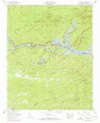
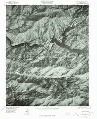
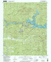
Historical Maps of Yellow Creek Through Time
4 maps found