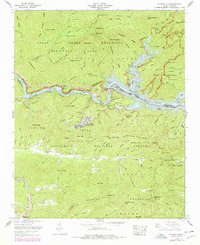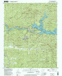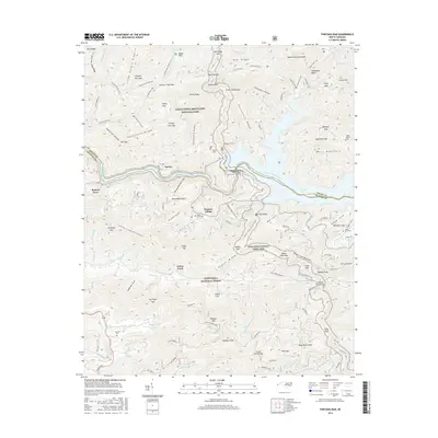
1976 Map of Fontana Dam
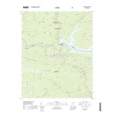
USGS Topo · Published 1978About this map
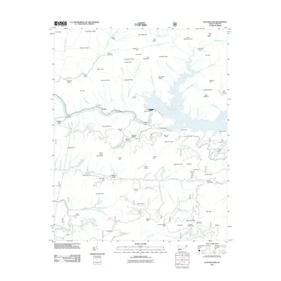
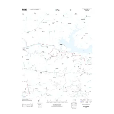
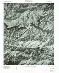
Fontana Village serves as the primary residential anchor in this 1970s orthophoto survey, situated south of the massive Fontana Dam and the waters of Fontana Lake. The imagery reveals the complex topography of the southern Appalachian landscape, defined by high-elevation features like Twentymile Ridge and the Yellow Creek Mountains. The map provides a photographic record of the region's managed waterways, including the winding course of the Little Tennessee River and its confluence with Cheoah Lake. This orthophotoquad format offers a rare visual perspective of the land cover and forest density surrounding Yellow Creek and the Cheoah Mountains, capturing the area before decades of subsequent vegetation growth and development altered the visibility of access roads and terrain contours.
Find a feature on this map
12 named features on this map. Tap any name to fly to it.
Don’t see what you’re looking for? This feature index may not catch every label — zoom into the map to look around manually.
Map Details
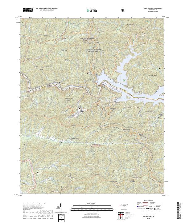
Editions of this 1976 Fontana Dam Map
This is the sole edition of this map. No revisions or reprints were ever made.
Historical Maps of Fontana Dam Through Time
8 maps found