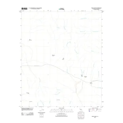
2012 Map of Fonts Point
USGS Topo · Published 2012About this map
Truckhaven Rocks Campground and the high desert terrain of northeastern San Diego County dominate this landscape, defined by a complex network of dry washes and deeply carved canyons. The map tracks the passage of the Borrego-Salton Sea Way, which cuts through an arid basin where drainage systems like Palo Verde Wash, Smoke Tree Wash, and Arroyo Salada converge. These ephemeral watercourses illustrate the desert's erosion patterns, flowing from the north toward the expansive badlands. Prominent landmarks such as Fonts Point and Inspiration Point overlook the rugged topography of the Hills of the Moon and the sweeping Vista del Malpais. Within these canyons, rare water sources such as Rattlesnake Spring and Palo Verde Spring represent critical nodes in an otherwise parched environment. The presence of Little Clark Lake at the western edge further emphasizes the varied hydrologic features of the Borrego desert region during this era.
Find a feature on this map
27 named features on this map. Tap any name to fly to it.
Don’t see what you’re looking for? This feature index may not catch every label — zoom into the map to look around manually.
Map Details
Editions of this 2012 Fonts Point Map
This is the sole edition of this map. No revisions or reprints were ever made.
Other maps of this area

1904 · Indio
USGS Topo · 1:125,000

1931 · Vallecito
USGS Topo · 1:125,000

1939 · Borrego
USGS Topo · 1:62,500

1941 · Clark Lake
USGS Topo · 1:62,500

1942 · Barrel Spring
USGS Topo · 1:62,500

1942 · Agua Dulce
USGS Topo · 1:62,500

1942 · Clark Lake
USGS Topo · 1:62,500

1942 · Borego
USGS Topo · 1:62,500

1943 · Vallecito
USGS Topo · 1:125,000

1944 · Agua Dulce
USGS Topo · 1:62,500