
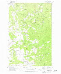
1973 Map of Foothills
USGS Topo · Published 1986About this map
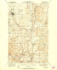
The sprawling eastern foothills of the Selkirk Mountains define this landscape, dominated by the southern boundary of Mt Spokane State Park. The terrain is deeply incised by drainages such as Deep Creek and Deadman Creek, which flow toward the small community of Peone. Local development is clustered along the southern and western edges, where the settlement of Foothills sits near the Fire Station. The map illustrates a network of rural routes that follow the natural topography, including Kronquist Road and Madison Road. Industrial and utility footprints are visible through the Green Bluff Substation and several labeled Borrow Pit locations. High elevations are marked by the Mt Spokane Fire Station and the start of several primitive Jeep Trails that penetrate the high country near Bill Gulch.
Find a feature on this map
48 named features on this map. Tap any name to fly to it.
Don’t see what you’re looking for? This feature index may not catch every label — zoom into the map to look around manually.
Map Details
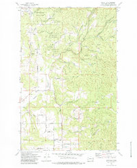
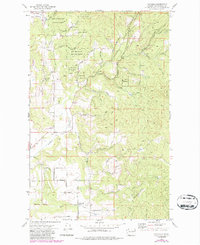
Editions of this 1973 Foothills Map
4 editions found
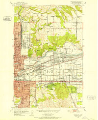
Other maps of this area

1901 · Spokane
USGS Topo · 1:125,000

1943 · Mt Spokane
USGS Topo · 1:62,500

1949 · Deer Park
USGS Topo · 1:62,500

1949 · Greenacres
USGS Topo · 1:62,500
1950 · Spokane NE
USGS Topo · 1:24,000

1950 · Mt Spokane
USGS Topo · 1:62,500

1950 · Spokane
USGS Topo · 1:62,500
1951 · Deer Park
USGS Topo · 1:62,500

1951 · Greenacres
USGS Topo · 1:62,500

1955 · Spokane
USGS Topo · 1:250,000