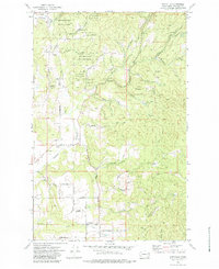
1973 Map of Foothills
USGS Topo · Published 1984About this map
Mt Spokane State Park dominates the northern half of this landscape, where a dense network of roads and jeep trails like Madison Road and Kellogg Road weave through the higher elevations. The transition from the steep, wooded slopes of the state park to the flatter agricultural land below is marked by the scattered settlements of Peone and Foothills. This 1973 field-checked topography shows a rural region defined by its water drainage, with Deadman Creek and Peone Creek flowing from the hills toward the valley floor.
Find a feature on this map
50 named features on this map. Tap any name to fly to it.
Don’t see what you’re looking for? This feature index may not catch every label — zoom into the map to look around manually.
Map Details
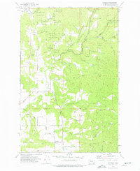
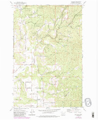
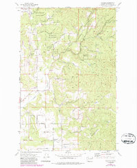
Editions of this 1973 Foothills Map
4 editions found
Other maps of this area

1901 · Spokane
USGS Topo · 1:125,000

1943 · Mt Spokane
USGS Topo · 1:62,500

1949 · Deer Park
USGS Topo · 1:62,500

1949 · Greenacres
USGS Topo · 1:62,500

1950 · Spokane NE
USGS Topo · 1:24,000

1950 · Mt Spokane
USGS Topo · 1:62,500

1950 · Spokane
USGS Topo · 1:62,500

1951 · Deer Park
USGS Topo · 1:62,500

1951 · Greenacres
USGS Topo · 1:62,500

1955 · Spokane
USGS Topo · 1:250,000