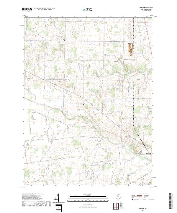
2023 Map of Foraker
USGS Topo · Published 2023About this map
The Scioto River winds through the heart of Hardin County, anchoring a landscape defined by its network of agricultural drainage and small rural settlements. This modern survey illustrates the persistent rural character of the region, where the town of Foraker and the community of Blanchard remain central points of reference amidst a dense grid of township and county roads. The drainage pattern is particularly intricate here, with Cessna Creek, Hog Creek, and Batchlet Run feeding the larger river system, while Cooney Ditch highlights the engineered nature of the local hydrology.
Find a feature on this map
60 named features on this map. Tap any name to fly to it.
Don’t see what you’re looking for? This feature index may not catch every label — zoom into the map to look around manually.
Map Details
Editions of this 2023 Foraker Map
This is the sole edition of this map. No revisions or reprints were ever made.
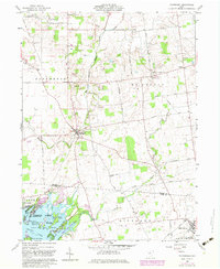
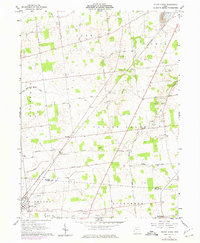
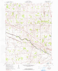
Historical Maps of Buck Township Through Time
7 maps found
Featured Locations
- Blanchard Township, OH
- Buck Township, OH
- Kenton, OH
- Foraker, Lynn Township
- Blanchard, Blanchard Township