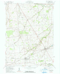
1961 Map of Mt. Victory
USGS Topo · Published 1990About this map
Mt Victory and Ridgeway serve as the primary hubs in this agricultural pocket of Ohio, where the steel of the New York Central railroad dictates the orientation of local commerce. Surveyed at the start of the 1960s, the landscape is defined by its meticulous grid of section lines and township boundaries, including Hale, Dudley, and Taylor. The proximity of small communal landmarks like the Amish Sch and Wolf Creek Ch suggests a deeply rooted rural society structured around faith and education.
Find a feature on this map
33 named features on this map. Tap any name to fly to it.
Don’t see what you’re looking for? This feature index may not catch every label — zoom into the map to look around manually.
Map Details
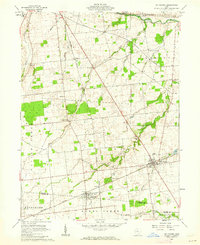
Editions of this 1961 Mt. Victory Map
2 editions found
Other maps of this area

1913 · East Liberty
USGS Topo · 1:62,500

1913 · Richwood
USGS Topo · 1:62,500

1915 · Richwood
USGS Topo · 1:62,500

1915 · East Liberty
USGS Topo · 1:62,500

1915 · Kenton
USGS Topo · 1:62,500

1915 · La Rue
USGS Topo · 1:62,500

1944 · East Liberty
USGS Topo · 1:62,500

1944 · Kenton
USGS Topo · 1:62,500

1944 · Richwood
USGS Topo · 1:62,500

1950 · Marion
USGS Topo · 1:250,000