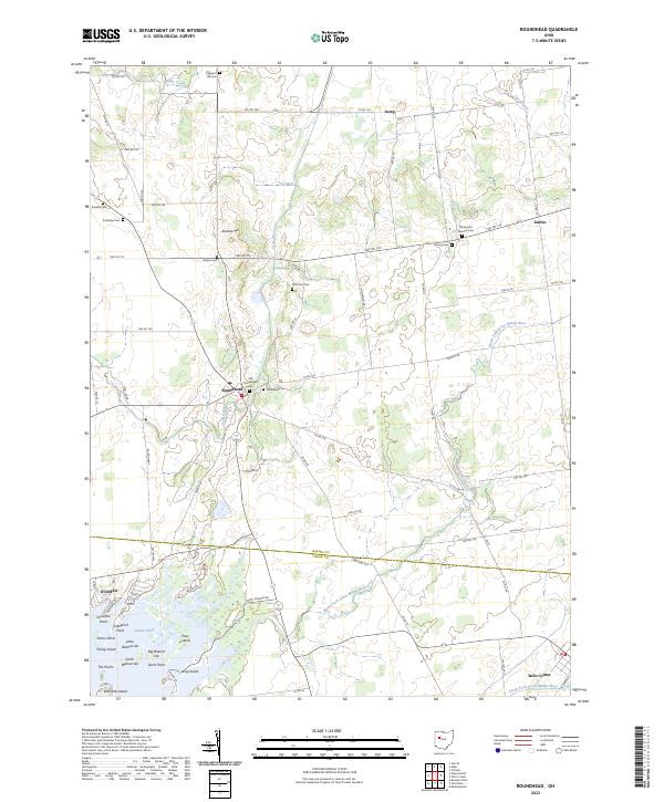
2023 Map of Roundhead
USGS Topo · Published 2023About this map
Roundhead and its surrounding rural townships sit at a distinctive hydrological divide where the waters of the Scioto River and the North Fork Great Miami River begin their respective journeys. This detailed survey captures a landscape defined by its agricultural grid and a high density of early burial grounds, including the Old Roundhead Cem and the McDonald Fairview Cem, which serve as vital landmarks for genealogical research in Hardin and Logan Counties. To the south, the terrain shifts into the marshy complex of Dunns Pond, where a cluster of named islands like Big Walnut Isle, Snow Island, and Pony Island indicate a complex wetland environment. Smaller named locales such as Jump and Jumbo anchor the northern reaches of the map, connected by a network of township roads that follow the early section lines of the Public Land Survey System.
Find a feature on this map
74 named features on this map. Tap any name to fly to it.
Don’t see what you’re looking for? This feature index may not catch every label — zoom into the map to look around manually.
Map Details
Editions of this 2023 Roundhead Map
This is the sole edition of this map. No revisions or reprints were ever made.
Other maps of this area

1913 · Alger
USGS Topo · 1:48,000

1913 · Bellefontaine
USGS Topo · 1:48,000

1913 · East Liberty
USGS Topo · 1:62,500

1915 · Alger
USGS Topo · 1:62,500

1915 · Bellefontaine
USGS Topo · 1:62,500

1915 · East Liberty
USGS Topo · 1:62,500

1915 · Kenton
USGS Topo · 1:62,500

1943 · Alger
USGS Topo · 1:62,500

1944 · East Liberty
USGS Topo · 1:62,500

1944 · Kenton
USGS Topo · 1:62,500