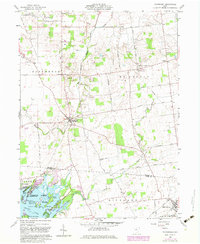
1960 Map of Roundhead
USGS Topo · Published 1983About this map
The Virginia Military District boundary divides the agricultural landscape of Hardin County in this 1960 survey, a region where the headwaters of the Scioto River and the Great Miami River nearly meet. Small agricultural settlements like Roundhead, Jump, and Jumbo anchor the township divisions, connected by a network of rural roads such as Zimmerman Road and Fleece Road. The map documents numerous pioneer burial sites including Hinkle Cem and Old Fairview Cem, alongside rural congregations at Pleasant Hill Ch and Mt Zion Ch. To the southwest, the recreational character of Indian Lake State Park is visible, featuring various named landforms like Sassafras Point and Pony Island. The drainage patterns, managed through the Military Ditch, reveal the historical effort to transform this marshy headwater area into productive farmland.
Find a feature on this map
50 named features on this map. Tap any name to fly to it.
Don’t see what you’re looking for? This feature index may not catch every label — zoom into the map to look around manually.
Map Details
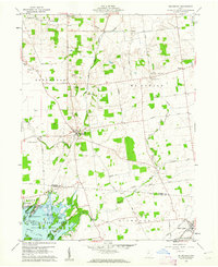
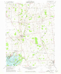
Editions of this 1960 Roundhead Map
Other maps of this area

1913 · Alger
USGS Topo · 1:48,000

1913 · Bellefontaine
USGS Topo · 1:48,000

1913 · East Liberty
USGS Topo · 1:62,500

1915 · Alger
USGS Topo · 1:62,500

1915 · Bellefontaine
USGS Topo · 1:62,500

1915 · East Liberty
USGS Topo · 1:62,500

1915 · Kenton
USGS Topo · 1:62,500

1943 · Alger
USGS Topo · 1:62,500

1944 · East Liberty
USGS Topo · 1:62,500

1944 · Kenton
USGS Topo · 1:62,500