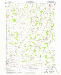
1960 Map of Silver Creek
USGS Topo · Published 1975About this map
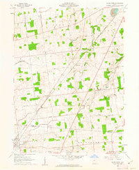
The North Fork Great Miami River and South Fork Great Miami River converge in this rural region of western Ohio, where the landscape is defined by the intersection of Hardin and Logan counties. The village of Belle Center serves as the primary hub, marked by a dense grid of streets and a nearby Quarry. The industrial and agricultural character of the era is evidenced by numerous Gravel Pits and the long stretch of the Penn Central railroad, which cuts diagonally across the townships of Richland and Taylor Creek. Cultural and community landmarks are scattered throughout the agricultural tracts, including several family and community burial grounds such as Sloan-Yelverton Cem and Norman Cem. In the southeastern corner, a Fish Hatchery and a Drive-in Theater represent the local economy and social life of the mid-20th century.
Find a feature on this map
46 named features on this map. Tap any name to fly to it.
Don’t see what you’re looking for? This feature index may not catch every label — zoom into the map to look around manually.
Map Details
Editions of this 1960 Silver Creek Map
2 editions found
Other maps of this area

1913 · Alger
USGS Topo · 1:48,000

1913 · Bellefontaine
USGS Topo · 1:48,000

1913 · East Liberty
USGS Topo · 1:62,500

1915 · Alger
USGS Topo · 1:62,500

1915 · Bellefontaine
USGS Topo · 1:62,500

1915 · East Liberty
USGS Topo · 1:62,500

1915 · Kenton
USGS Topo · 1:62,500

1943 · Alger
USGS Topo · 1:62,500

1944 · East Liberty
USGS Topo · 1:62,500

1944 · Kenton
USGS Topo · 1:62,500