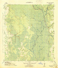
1945 Map of Forbes Island
USGS Topo · Published 1945About this map
The Apalachicola River corridor dominates this 1945 War Department survey, showing a landscape defined by water and timber operations just as the post-war era began. Numerous landings, such as Willis Landing, Wright Landing, and Smith Creek Landing, dot the riverbanks and backwaters like Robinson Bay, highlighting the area's historical reliance on river transport for movement and commerce. The interior is a complex network of wetlands and tributaries including the Brothers River, Owl Creek, and the extensive Indian Swamp.
Find a feature on this map
39 named features on this map. Tap any name to fly to it.
Don’t see what you’re looking for? This feature index may not catch every label — zoom into the map to look around manually.
Map Details
Editions of this 1945 Forbes Island Map
3 editions found
Other maps of this area

1943 · Jackson River
USGS Topo · 1:24,000

1944 · White City
USGS Topo · 1:24,000

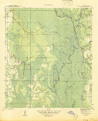
1944 · Forbes Island
USGS Topo · 1:24,000

1945 · Forbes Island
USGS Topo · 1:31,680

1945 · Lake Wimico
USGS Topo · 1:31,680

1945 · Kennedy Creek
USGS Topo · 1:31,680

1945 · White City
USGS Topo · 1:31,680

1945 · Beverly
USGS Topo · 1:31,680

1945 · Wewahitchka
USGS Topo · 1:31,680

1945 · Jackson River
USGS Topo · 1:31,680