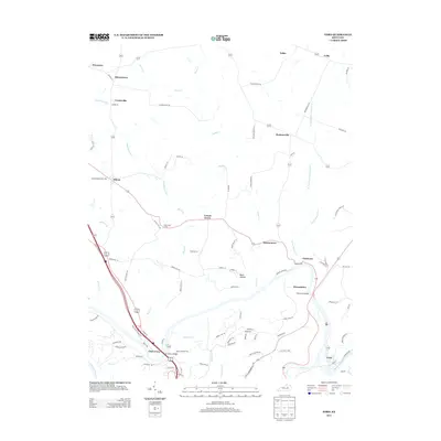
2013 Map of Ford
USGS Topo · Published 2013About this map
The Kentucky River carves a deep path through the limestone of central Kentucky, defining the southern border of this landscape near the Fayette, Madison, and Clark county lines. This area is characterized by a high density of small rural settlements and hamlets, including Athens, Becknerville, and Locust Grove, connected by a complex network of narrow lanes such as Sulphur Well Rd and Combs Ferry Rd. The river crossings are central to the region's geography, anchored by the Clay's Ferry Bridge at Clays Ferry and the Memorial Bridge at Boonesboro. These points have historically served as vital conduits for travel between the Bluegrass region and the foothills to the southeast.
Find a feature on this map
90 named features on this map. Tap any name to fly to it.
Don’t see what you’re looking for? This feature index may not catch every label — zoom into the map to look around manually.
Map Details
Editions of this 2013 Ford Map
This is the sole edition of this map. No revisions or reprints were ever made.
Other maps of this area

1892 · Richmond
USGS Topo · 1:125,000

1897 · Richmond
USGS Topo · 1:125,000

1927 · Lexington
USGS Topo · 1:48,000

1929 · Lexington
USGS Topo · 1:62,500

1950 · Lexington East
USGS Topo · 1:24,000

1952 · Valley View
USGS Topo · 1:24,000

1952 · Union City
USGS Topo · 1:24,000

1952 · Coletown
USGS Topo · 1:24,000

1952 · Clintonville
USGS Topo · 1:24,000

1952 · Austerlitz
USGS Topo · 1:24,000