2022 Map of Ford
USGS Topo · Published 2022About this map
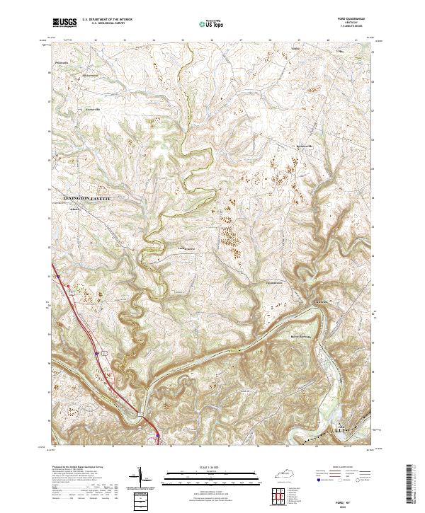
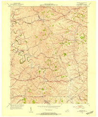
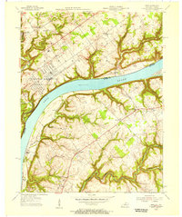
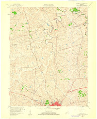
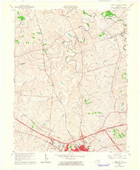
The Kentucky River carves a deep, sinuous path through the landscape where the borders of Fayette, Clark, and Madison counties meet. This bend of the river is anchored by Boonesborough, a site of profound significance in the early settlement of the Bluegrass region. Across the water, the small community of Ford sits at a sharp oxbow, while the surrounding upland plateau is dotted with long-established hamlets like Athens and Locust Grove. The map reveals a complex network of ridge-top roads, such as Athens Boonesboro Rd and Combs Ferry Rd, which connect these dispersed settlements.
Find a feature on this map
74 named features on this map. Tap any name to fly to it.
Don’t see what you’re looking for? This feature index may not catch every label — zoom into the map to look around manually.
Map Details
Editions of this 2022 Ford Map
This is the sole edition of this map. No revisions or reprints were ever made.
Historical Maps of Boonesborough Through Time
14 maps found
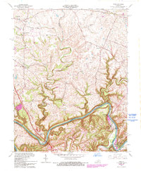
1952 Austerlitz
Clark County, KY
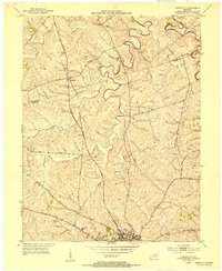
1952 Ford
Clark County, KY
1952 Hedges
Clark County, KY
1952 Sideview
Clark County, KY
1954 Owen
Clark County, KY
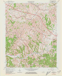
1959 Austerlitz
Clark County, KY
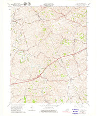
1965 Austerlitz
Clark County, KY
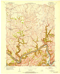
1965 Ford
Clark County, KY
1965 Hedges
Clark County, KY
1965 Sideview
Clark County, KY
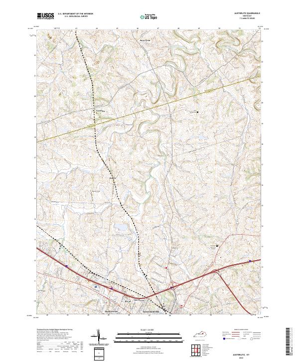
2022 Austerlitz
Clark County, KY
2022 Ford
Clark County, KY
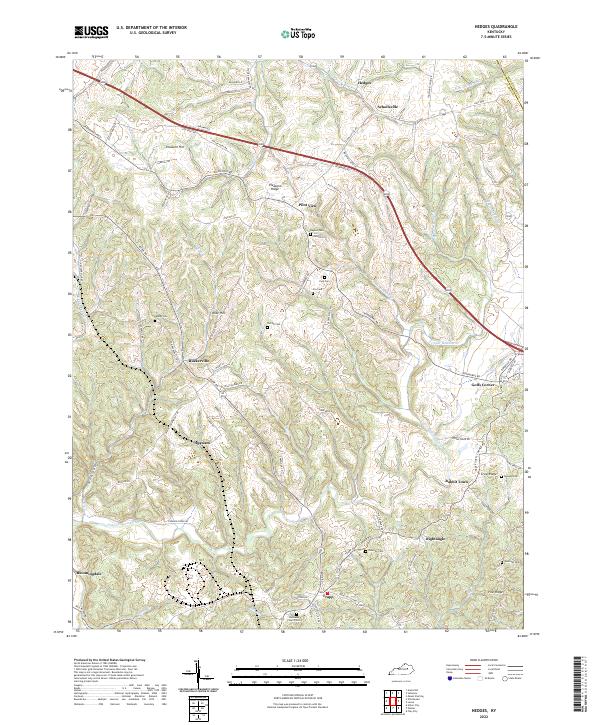
2022 Hedges
Clark County, KY
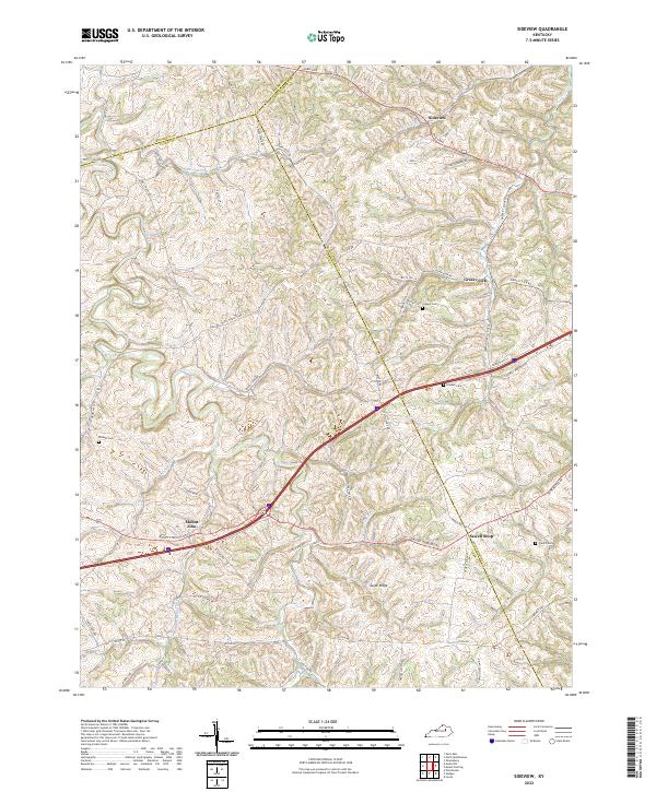
2022 Sideview
Clark County, KY