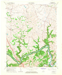
1965 Map of Ford
USGS Topo · Published 1967About this map
The Kentucky River winds sharply through this 1965 survey, marking the intersection of Fayette, Clark, and Madison Counties. The landscape is defined by the historic river crossings and the early development of Fort Boonesborough State Park, where the Boonesborough Quarry Memorial Bridge spans the water. To the north, the terrain transitions into the Bluegrass region's characteristic farmland, dotted with small communities like Athens, Becknerville, and the distinctively named Niblicktown and Pricetown.
Find a feature on this map
59 named features on this map. Tap any name to fly to it.
Don’t see what you’re looking for? This feature index may not catch every label — zoom into the map to look around manually.
Map Details
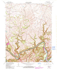
Editions of this 1965 Ford Map
2 editions found
Other maps of this area

1892 · Richmond
USGS Topo · 1:125,000

1897 · Richmond
USGS Topo · 1:125,000

1927 · Lexington
USGS Topo · 1:48,000

1929 · Lexington
USGS Topo · 1:62,500

1950 · Lexington East
USGS Topo · 1:24,000

1952 · Valley View
USGS Topo · 1:24,000

1952 · Union City
USGS Topo · 1:24,000

1952 · Coletown
USGS Topo · 1:24,000

1952 · Clintonville
USGS Topo · 1:24,000

1952 · Austerlitz
USGS Topo · 1:24,000