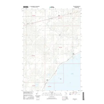
2017 Map of Ford River
USGS Topo · Published 2017About this map
The Ford River winds through the wetlands of Delta County before emptying into Green Bay and Lake Michigan. This 2017 study shows the varied landscape of Ford River Township, where small settlements like Narenta, Pine Ridge, and Ford River sit among a network of creeks including Fivemile Creek and Fenton Creek. The coastal area is defined by Lake Shore drive, which passes through the community of Island View near the mouth of the river. Inland, the map documents several water bodies such as North Lake and South Lake, along with the curiously named No See-um Creek. These features illustrate the drainage patterns typical of Michigan’s Upper Peninsula, where low-lying marshlands alternate with subtle ridges and established local routes like K Road and 10th Road.
Find a feature on this map
47 named features on this map. Tap any name to fly to it.
Don’t see what you’re looking for? This feature index may not catch every label — zoom into the map to look around manually.
Map Details
Editions of this 2017 Ford River Map
This is the sole edition of this map. No revisions or reprints were ever made.
Other maps of this area

1932 · Gladstone SE
USGS Topo · 1:31,680

1932 · Bark River NE
USGS Topo · 1:31,680

1932 · Whitney SE
USGS Topo · 1:31,680

1932 · Gladstone SW
USGS Topo · 1:31,680

1954 · Escanaba
USGS Topo · 1:250,000

1957 · Escanaba
USGS Topo · 1:250,000

1958 · Escanaba
USGS Topo · 1:250,000

1958 · Gladstone
USGS Topo · 1:62,500

1958 · Escanaba
USGS Topo · 1:62,500

1963 · Bark River
USGS Topo · 1:62,500