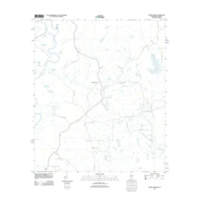
2012 Map of Fords Creek
USGS Topo · Published 2012About this map
Fords Creek serves as a central point in this part of Pearl River County, where the landscape is defined by the winding passage of the Pearl River and its intricate network of tributaries. The map reveals a transition between the river's floodplains and the surrounding uplands, punctuated by numerous oxbow lakes and named water bodies such as Upper Cameron Lake, Lower Cameron Lake, and Horseshoe Lake. The distribution of rural roads like Pine Springs Rd and Hills of Sinai Rd suggests a community built around the timber and agricultural potential of the Pearl River basin. This survey documents the persistence of small named settlements and local landmarks like Richie Cem and Huckleberry N in a region where geography is still heavily dictated by the shifting currents and low-lying marshes of the river valley.
Find a feature on this map
1 named feature on this map. Tap any name to fly to it.
Don’t see what you’re looking for? This feature index may not catch every label — zoom into the map to look around manually.
Map Details
Editions of this 2012 Fords Creek Map
This is the sole edition of this map. No revisions or reprints were ever made.
Other maps of this area

1949 · Bogalusa East
USGS Topo · 1:31,680

1949 · Angie
USGS Topo · 1:31,680

1953 · Hattiesburg
USGS Topo · 1:250,000

1953 · Mobile
USGS Topo · 1:250,000

1957 · Mobile
USGS Topo · 1:250,000

1958 · Hattiesburg
USGS Topo · 1:250,000

1959 · Bogalusa
USGS Topo · 1:62,500

1959 · Poplarville
USGS Topo · 1:62,500

1960 · Mobile
USGS Topo · 1:250,000

1963 · Mobile
USGS Topo · 1:250,000