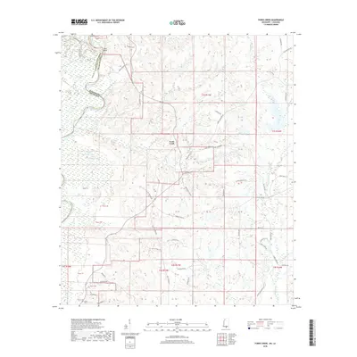
2018 Map of Fords Creek
USGS Topo · Published 2018About this map
The Pearl River defines the western border of this landscape, separating Washington Parish, Louisiana, from Pearl River County, Mississippi. This riverine environment is characterized by an extensive network of oxbow lakes and basins, including Horseshoe Lake, Road Lake, and the connected Upper Cameron Lake and Lower Cameron Lake. These water bodies suggest a dynamic floodplain history where the river has shifted its course over time.
Find a feature on this map
70 named features on this map. Tap any name to fly to it.
Don’t see what you’re looking for? This feature index may not catch every label — zoom into the map to look around manually.
Map Details
Editions of this 2018 Fords Creek Map
This is the sole edition of this map. No revisions or reprints were ever made.
Other maps of this area

1949 · Bogalusa East
USGS Topo · 1:31,680

1949 · Angie
USGS Topo · 1:31,680

1953 · Hattiesburg
USGS Topo · 1:250,000

1953 · Mobile
USGS Topo · 1:250,000

1957 · Mobile
USGS Topo · 1:250,000

1958 · Hattiesburg
USGS Topo · 1:250,000

1959 · Bogalusa
USGS Topo · 1:62,500

1959 · Poplarville
USGS Topo · 1:62,500

1960 · Mobile
USGS Topo · 1:250,000

1963 · Mobile
USGS Topo · 1:250,000