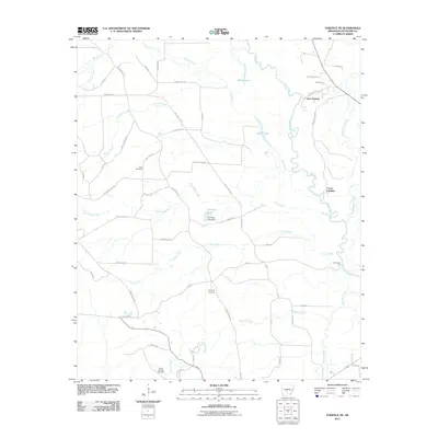
2011 Map of Fordyce NE
USGS Topo · Published 2011About this map
The Saline River winds through this section of Cleveland County, shaping a landscape of bottomlands and interconnected waterways such as Grisly Creek and Derrieusseaux Creek. Small rural settlements like Gum Springs and Cermak dot the area, linked by a network of timber and farm roads. The proximity to the river is evident at Canoe Landing and Charnnings Ferry, highlighting the importance of water access in this region.
Find a feature on this map
56 named features on this map. Tap any name to fly to it.
Don’t see what you’re looking for? This feature index may not catch every label — zoom into the map to look around manually.
Map Details
Editions of this 2011 Fordyce NE Map
This is the sole edition of this map. No revisions or reprints were ever made.
Other maps of this area

1953 · El Dorado
USGS Topo · 1:250,000

1955 · Little Rock
USGS Topo · 1:250,000

1956 · Little Rock
USGS Topo · 1:250,000

1957 · El Dorado
USGS Topo · 1:250,000

1958 · El Dorado
USGS Topo · 1:250,000

1960 · El Dorado
USGS Topo · 1:250,000

1960 · Little Rock
USGS Topo · 1:250,000

1962 · Kedron
USGS Topo · 1:24,000

1964 · Little Rock
USGS Topo · 1:250,000

1964 · Staves
USGS Topo · 1:24,000