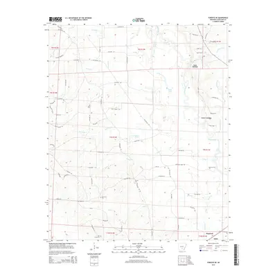
2014 Map of Fordyce NE
USGS Topo · Published 2014About this map
The Saline River winds through the heart of this Cleveland County landscape, defining the character of the southeastern Arkansas timberlands. In the lower reaches of the quadrangle, the town of Kingsland serves as a primary settlement, while smaller locales like Gum Springs and the historic river crossing at Charnnings Ferry point to a landscape historically tied to the water. The map preserves several burial sites of genealogical interest, including Grace Cem, Gum Grove Cem, Seymore Cem, and Camp Springs Cem, often located near crossroads such as Crossroads Rd.
Find a feature on this map
78 named features on this map. Tap any name to fly to it.
Don’t see what you’re looking for? This feature index may not catch every label — zoom into the map to look around manually.
Map Details
Editions of this 2014 Fordyce NE Map
This is the sole edition of this map. No revisions or reprints were ever made.
Other maps of this area

1953 · El Dorado
USGS Topo · 1:250,000

1955 · Little Rock
USGS Topo · 1:250,000

1956 · Little Rock
USGS Topo · 1:250,000

1957 · El Dorado
USGS Topo · 1:250,000

1958 · El Dorado
USGS Topo · 1:250,000

1960 · El Dorado
USGS Topo · 1:250,000

1960 · Little Rock
USGS Topo · 1:250,000

1962 · Kedron
USGS Topo · 1:24,000

1964 · Little Rock
USGS Topo · 1:250,000

1964 · Staves
USGS Topo · 1:24,000