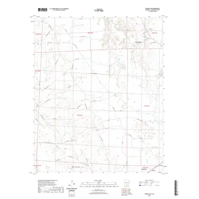
2020 Map of Fordyce NE
USGS Topo · Published 2020About this map
Kingsland sits at the southern edge of this Cleveland County landscape, where the Saline River meanders through a network of wetlands and minor tributaries. This 2020 record of the region reveals a rural character defined by timbered tracts and family-named cemeteries such as Camp Springs Cem, Grace Cem, and Seymore Cem. The topography is shaped by water, with Wilson Lake, Grays Lake, and Clements Pond punctuating the lowlands between Finley Cr and Gooley Cr.
Find a feature on this map
68 named features on this map. Tap any name to fly to it.
Don’t see what you’re looking for? This feature index may not catch every label — zoom into the map to look around manually.
Map Details
Editions of this 2020 Fordyce NE Map
This is the sole edition of this map. No revisions or reprints were ever made.
Other maps of this area

1953 · El Dorado
USGS Topo · 1:250,000

1955 · Little Rock
USGS Topo · 1:250,000

1956 · Little Rock
USGS Topo · 1:250,000

1957 · El Dorado
USGS Topo · 1:250,000

1958 · El Dorado
USGS Topo · 1:250,000

1960 · El Dorado
USGS Topo · 1:250,000

1960 · Little Rock
USGS Topo · 1:250,000

1962 · Kedron
USGS Topo · 1:24,000

1964 · Little Rock
USGS Topo · 1:250,000

1964 · Staves
USGS Topo · 1:24,000