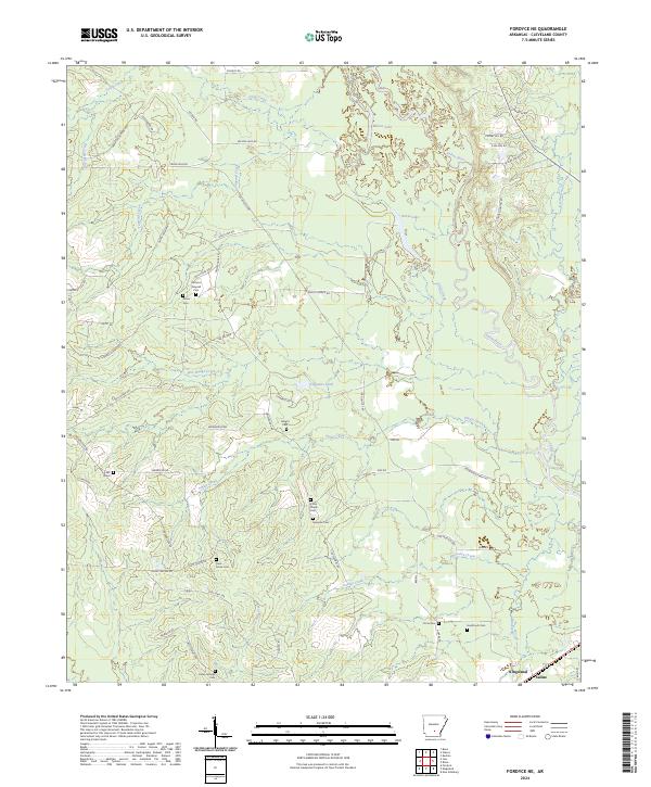
2024 Map of Fordyce NE
USGS Topo · Published 2024About this map
Kingsland and the Saline River bottomlands define this portion of Cleveland County, where a network of tributary creeks like Finley Creek and Grisly Creek feed into the river's winding course. This contemporary survey preserves the locations of numerous family and community burial grounds that map the area's genealogical heritage, including Harrison Tanyard Cem, Camp Springs Cem, and Heathcock Cem. The landscape is a mix of managed timberlands, as evidenced by Deltic Rd, and rural homesteads connected by a dense web of local routes. Roads such as Chownings Ferry Rd hint at earlier eras of river transit and historical crossings. Near Wilson Lake, the terrain is marked by distinctive drainages like Tanyard Creek and Fools Head Creek, illustrating the complex hydrology of the South Arkansas river valley.
Find a feature on this map
73 named features on this map. Tap any name to fly to it.
Don’t see what you’re looking for? This feature index may not catch every label — zoom into the map to look around manually.
Map Details
Editions of this 2024 Fordyce NE Map
This is the sole edition of this map. No revisions or reprints were ever made.
Other maps of this area

1953 · El Dorado
USGS Topo · 1:250,000

1955 · Little Rock
USGS Topo · 1:250,000

1956 · Little Rock
USGS Topo · 1:250,000

1957 · El Dorado
USGS Topo · 1:250,000

1958 · El Dorado
USGS Topo · 1:250,000

1960 · El Dorado
USGS Topo · 1:250,000

1960 · Little Rock
USGS Topo · 1:250,000

1962 · Kedron
USGS Topo · 1:24,000

1964 · Little Rock
USGS Topo · 1:250,000

1964 · Staves
USGS Topo · 1:24,000