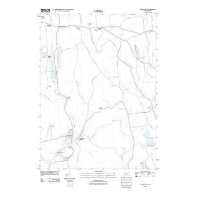
2010 Map of Forest City
USGS Topo · Published 2010About this map
Forest City and the neighboring boroughs of Richmondale and Vandling anchor the southern reaches of this landscape, where the anthracite heritage of Susquehanna County remains visible through markers like the Old Forest City Shaft and Clifford Shaft. The terrain is defined by the headwaters of the Lackawanna River, which flows south toward the coal regions, while the northern sections of the map feature the West Branch Lackawanna River and its interaction with Stillwater Lake.
Find a feature on this map
74 named features on this map. Tap any name to fly to it.
Don’t see what you’re looking for? This feature index may not catch every label — zoom into the map to look around manually.
Map Details
Editions of this 2010 Forest City Map
This is the sole edition of this map. No revisions or reprints were ever made.
Other maps of this area

1892 · Honesdale
USGS Topo · 1:62,500

1892 · Dundaff
USGS Topo · 1:62,500

1926 · Starrucca
USGS Topo · 1:62,500

1930 · Starrucca
USGS Topo · 1:48,000

1932 · Susquehanna
USGS Topo · 1:62,500

1933 · Starrucca
USGS Topo · 1:62,500

1935 · Susquehanna
USGS Topo · 1:62,500

1943 · Honesdale
USGS Topo · 1:125,000

1946 · Forest City
USGS Topo · 1:24,000

1946 · Carbondale
USGS Topo · 1:24,000