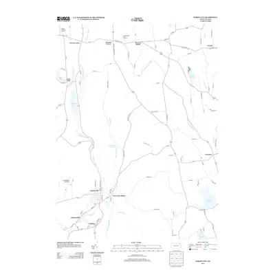
2013 Map of Forest City
USGS Topo · Published 2013About this map
Forest City and the neighboring boroughs of Vandling and Richmondale anchor the southern reaches of this landscape along the Lackawanna River. This industrial and residential corridor contrasts with the more rural northern sections of the survey, where the E Br Lackawanna River and W Br Lackawanna River begin their descent from the slopes of Lackawanna Mountain. The presence of the Pleasant Mount Fish Hatchery and several small water bodies, including Hankins Pond and Stillwater Lake, indicates a geography defined by its watershed management and conservation areas.
Find a feature on this map
90 named features on this map. Tap any name to fly to it.
Don’t see what you’re looking for? This feature index may not catch every label — zoom into the map to look around manually.
Map Details
Editions of this 2013 Forest City Map
This is the sole edition of this map. No revisions or reprints were ever made.
Other maps of this area

1892 · Honesdale
USGS Topo · 1:62,500

1892 · Dundaff
USGS Topo · 1:62,500

1926 · Starrucca
USGS Topo · 1:62,500

1930 · Starrucca
USGS Topo · 1:48,000

1932 · Susquehanna
USGS Topo · 1:62,500

1933 · Starrucca
USGS Topo · 1:62,500

1935 · Susquehanna
USGS Topo · 1:62,500

1943 · Honesdale
USGS Topo · 1:125,000

1946 · Forest City
USGS Topo · 1:24,000

1946 · Carbondale
USGS Topo · 1:24,000