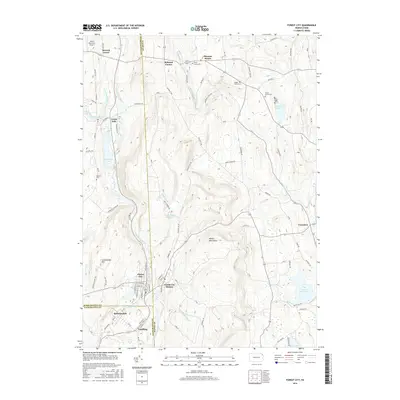
2016 Map of Forest City
USGS Topo · Published 2016About this map
Forest City and the neighboring boroughs of Vandling and Richmondale anchor the southern portion of this landscape, situated where the Lackawanna River cuts through the high terrain of the Moosic Mountains. This 2016 survey highlights the industrial and residential corridors of the Upper Lackawanna Valley, where steep slopes like Lackawanna Mtn influenced the development of settlements and transportation routes. The map provides a clear record of the area's rural-to-urban transition, showing a dense grid of streets in the main boroughs contrasted with the dispersed agricultural hamlets of Creamton, Herrick Center, and Pleasant Mount to the north and east.
Find a feature on this map
88 named features on this map. Tap any name to fly to it.
Don’t see what you’re looking for? This feature index may not catch every label — zoom into the map to look around manually.
Map Details
Editions of this 2016 Forest City Map
This is the sole edition of this map. No revisions or reprints were ever made.
Other maps of this area

1892 · Honesdale
USGS Topo · 1:62,500

1892 · Dundaff
USGS Topo · 1:62,500

1926 · Starrucca
USGS Topo · 1:62,500

1930 · Starrucca
USGS Topo · 1:48,000

1932 · Susquehanna
USGS Topo · 1:62,500

1933 · Starrucca
USGS Topo · 1:62,500

1935 · Susquehanna
USGS Topo · 1:62,500

1943 · Honesdale
USGS Topo · 1:125,000

1946 · Forest City
USGS Topo · 1:24,000

1946 · Carbondale
USGS Topo · 1:24,000