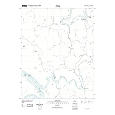
2011 Map of Forest Hill
USGS Topo · Published 2011About this map
The Greenbrier River carves a dramatic path through the northern landscape of this region, creating the notable Stony Creek Gorge before meeting the larger New River at the western edge. This 2011 survey captures a rural stretch of Summers County defined by scattered settlements and riverfront activity, including Camp Lightfoot and Camp Summers situated along the Greenbrier's banks. The settlement patterns follow the winding creek valleys and ridges, with Forest Hill and Indian Mills serving as central hubs, each still maintaining their respective post offices at this time.
Find a feature on this map
66 named features on this map. Tap any name to fly to it.
Don’t see what you’re looking for? This feature index may not catch every label — zoom into the map to look around manually.
Map Details
Editions of this 2011 Forest Hill Map
This is the sole edition of this map. No revisions or reprints were ever made.
Other maps of this area

1887 · Hinton
USGS Topo · 1:125,000

1890 · Dublin
USGS Topo · 1:125,000

1891 · Dublin
USGS Topo · 1:125,000

1892 · Hinton
USGS Topo · 1:125,000

1912 · Big Bend
USGS Topo · 1:62,500

1913 · Peterstown
USGS Topo · 1:48,000

1914 · Big Bend
USGS Topo · 1:62,500

1916 · Peterstown
USGS Topo · 1:62,500

1921 · Alderson
USGS Topo · 1:48,000

1923 · Pearisburg
USGS Topo · 1:62,500