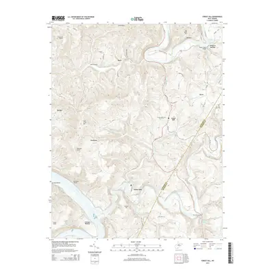
2014 Map of Forest Hill
USGS Topo · Published 2014About this map
Bargers Springs and Red Sulphur Springs highlight the mineral-spring geography of this corner of West Virginia, where the Summers Co and Monroe Co line divides the landscape. The Greenbrier River and New River dominate the southern and eastern reaches, carving through a terrain of deep hollows like Kate Hollow and prominent elevations such as Wolf Creek Mtn. Small communities like Forest Hill and Indian Mills are central to the local network of roads, which include WV-12 and WV-122.
Find a feature on this map
83 named features on this map. Tap any name to fly to it.
Don’t see what you’re looking for? This feature index may not catch every label — zoom into the map to look around manually.
Map Details
Editions of this 2014 Forest Hill Map
This is the sole edition of this map. No revisions or reprints were ever made.
Other maps of this area

1887 · Hinton
USGS Topo · 1:125,000

1890 · Dublin
USGS Topo · 1:125,000

1891 · Dublin
USGS Topo · 1:125,000

1892 · Hinton
USGS Topo · 1:125,000

1912 · Big Bend
USGS Topo · 1:62,500

1913 · Peterstown
USGS Topo · 1:48,000

1914 · Big Bend
USGS Topo · 1:62,500

1916 · Peterstown
USGS Topo · 1:62,500

1921 · Alderson
USGS Topo · 1:48,000

1923 · Pearisburg
USGS Topo · 1:62,500