2024 Map of Forest River
USGS Topo · Published 2024About this map
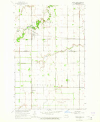
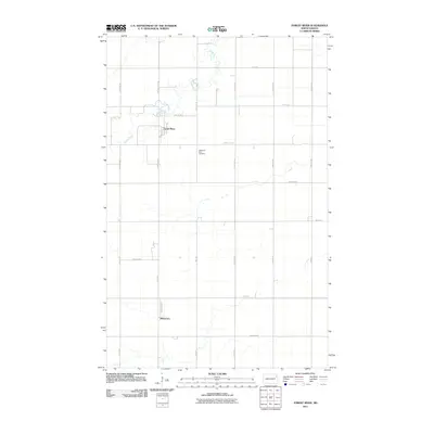
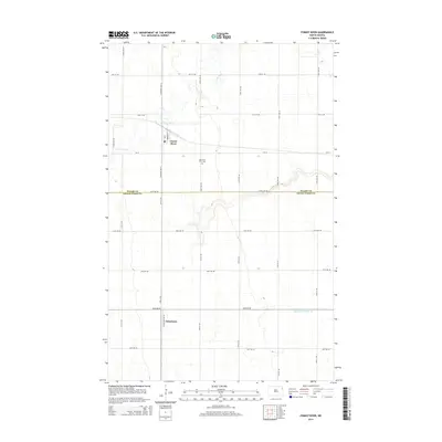
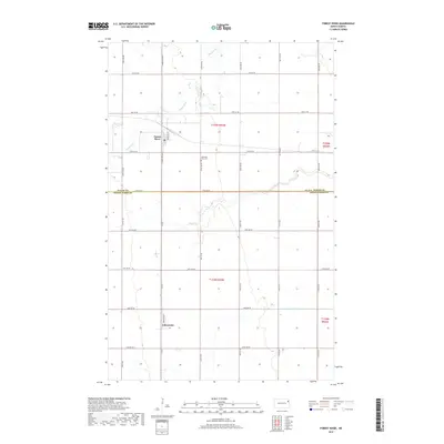
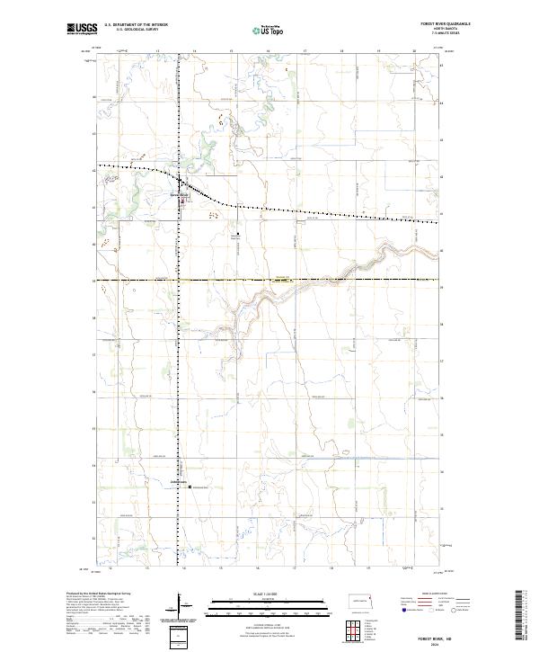
Forest River sits along the winding watercourse of the same name, serving as a primary focal point for this agrarian section of northeastern North Dakota. The landscape is defined by the strict geometry of the Public Land Survey System, with roads like 145th Ave NE and 57th St NE tracing section lines across the flat terrain. This 2024 map documents the area at the boundary of Walsh County and Grand Forks County, where the drainage patterns of the Forest River and County Ditch Number 19 dictate the placement of local infrastructure. Near the center of the sheet, the Memorial Park Cem provides a genealogical landmark, while the small settlement of Johnstown remains connected to the regional network via Co Rd 2 and Johnstown St. The map also identifies the local Po, marking the enduring civic center of the Forest River community.
Find a feature on this map
33 named features on this map. Tap any name to fly to it.
Don’t see what you’re looking for? This feature index may not catch every label — zoom into the map to look around manually.
Map Details
Editions of this 2024 Forest River Map
This is the sole edition of this map. No revisions or reprints were ever made.
Historical Maps of Forest River Through Time
6 maps found