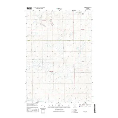
2015 Map of Forest
USGS Topo · Published 2015About this map
Willow River and its numerous tributaries, including Black Brook and Wolf Cr, define the drainage patterns across this borderland of Polk and St. Croix counties. The landscape is characterized by a high concentration of wetlands and small water bodies such as Bone Lake, Long Lake, and Harmin Lake. The settlement of Forest sits in the southeast, while the southern edge of Clear Lake is visible at the northern boundary. The grid of country roads, including Co Rd A and Co Rd D, organizes the rural terrain into the Public Land Survey System townships of T32N R16W and T31N R16W. In the southwestern corner, the village of Cylon is situated near the S Fork Willow River and Hutton Cr, showing the persistent importance of these watercourses to the local geography even in the modern era.
Find a feature on this map
42 named features on this map. Tap any name to fly to it.
Don’t see what you’re looking for? This feature index may not catch every label — zoom into the map to look around manually.
Map Details
Editions of this 2015 Forest Map
This is the sole edition of this map. No revisions or reprints were ever made.
Other maps of this area

1948 · Downing
USGS Topo · 1:62,500

1950 · Downing
USGS Topo · 1:62,500

1950 · Deer Park
USGS Topo · 1:62,500

1950 · Balsam Lake
USGS Topo · 1:62,500

1950 · Turtle Lake
USGS Topo · 1:62,500

1952 · Turtle Lake
USGS Topo · 1:62,500

1953 · Stillwater
USGS Topo · 1:250,000

1955 · Stillwater
USGS Topo · 1:250,000

1958 · Stillwater
USGS Topo · 1:250,000

1965 · Stillwater
USGS Topo · 1:250,000