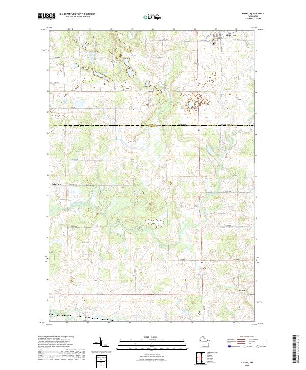
2022 Map of Forest
USGS Topo · Published 2022About this map
The borderlands of Polk and St. Croix counties are defined by a landscape of glacial depressions and winding waterways. The village of Clear Lake sits at the northern edge, near the Clear Lake Cem, while the small community of Forest anchors the southeastern corner. This area serves as a significant drainage basin for the Willow River, which meanders across the central and southern sections, joined by tributaries like Black Brook and Wolf Cr.
Find a feature on this map
39 named features on this map. Tap any name to fly to it.
Don’t see what you’re looking for? This feature index may not catch every label — zoom into the map to look around manually.
Map Details
Editions of this 2022 Forest Map
This is the sole edition of this map. No revisions or reprints were ever made.
Other maps of this area

1948 · Downing
USGS Topo · 1:62,500

1950 · Downing
USGS Topo · 1:62,500

1950 · Deer Park
USGS Topo · 1:62,500

1950 · Balsam Lake
USGS Topo · 1:62,500

1950 · Turtle Lake
USGS Topo · 1:62,500

1952 · Turtle Lake
USGS Topo · 1:62,500

1953 · Stillwater
USGS Topo · 1:250,000

1955 · Stillwater
USGS Topo · 1:250,000

1958 · Stillwater
USGS Topo · 1:250,000

1965 · Stillwater
USGS Topo · 1:250,000