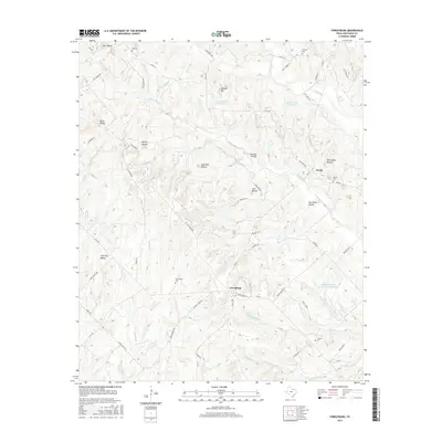
2016 Map of Forestburg
USGS Topo · Published 2016About this map
Forestburg serves as a central hub in this section of Montague County, where the transition from traditional agriculture to modern rural management is visible in features like the Sediment Control Structure 112 Reservoir. The landscape is defined by its numerous family and community landmarks, including the Forestburg Cemetery, Antioch Cemetery, and Traylor Cemetery, which offer valuable locations for genealogical research. Prominent topographic features such as Dye Mound, Sugarloaf Mound, and Tadlock Hill punctuate the terrain, providing a look at the natural landmarks that likely served as early navigational points.
Find a feature on this map
62 named features on this map. Tap any name to fly to it.
Don’t see what you’re looking for? This feature index may not catch every label — zoom into the map to look around manually.
Map Details
Editions of this 2016 Forestburg Map
This is the sole edition of this map. No revisions or reprints were ever made.
Other maps of this area

1902 · Gainesville
USGS Topo · 1:125,000

1905 · Montague
USGS Topo · 1:125,000

1943 · Gainesville
USGS Topo · 1:125,000

1954 · Sherman
USGS Topo · 1:250,000

1958 · Sherman
USGS Topo · 1:250,000

1961 · Muenster West
USGS Topo · 1:24,000

1961 · Saint Jo
USGS Topo · 1:24,000

1961 · Salona
USGS Topo · 1:24,000

1961 · Freemound
USGS Topo · 1:24,000

1961 · New Harp
USGS Topo · 1:24,000