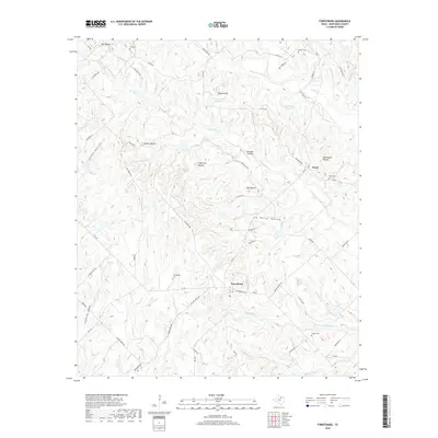
2019 Map of Forestburg
USGS Topo · Published 2019About this map
Forestburg serves as the central hub for this portion of Montague County, where the intersections of FM 455, FM 922, and FM 677 define the local transit pattern. The landscape is characterized by a series of prominent elevations, including Dye Mound, Sugarloaf Mound, and McCracken Mound, which rise above the drainage basins of Willawalla Cr and Dye Cr. These mounded features and hollows like Jim White Hollow suggest a terrain deeply etched by seasonal waterflow, creating a complex series of ridges that historically dictated road placement and settlement.
Find a feature on this map
61 named features on this map. Tap any name to fly to it.
Don’t see what you’re looking for? This feature index may not catch every label — zoom into the map to look around manually.
Map Details
Editions of this 2019 Forestburg Map
This is the sole edition of this map. No revisions or reprints were ever made.
Other maps of this area

1902 · Gainesville
USGS Topo · 1:125,000

1905 · Montague
USGS Topo · 1:125,000

1943 · Gainesville
USGS Topo · 1:125,000

1954 · Sherman
USGS Topo · 1:250,000

1958 · Sherman
USGS Topo · 1:250,000

1961 · Muenster West
USGS Topo · 1:24,000

1961 · Saint Jo
USGS Topo · 1:24,000

1961 · Salona
USGS Topo · 1:24,000

1961 · Freemound
USGS Topo · 1:24,000

1961 · New Harp
USGS Topo · 1:24,000