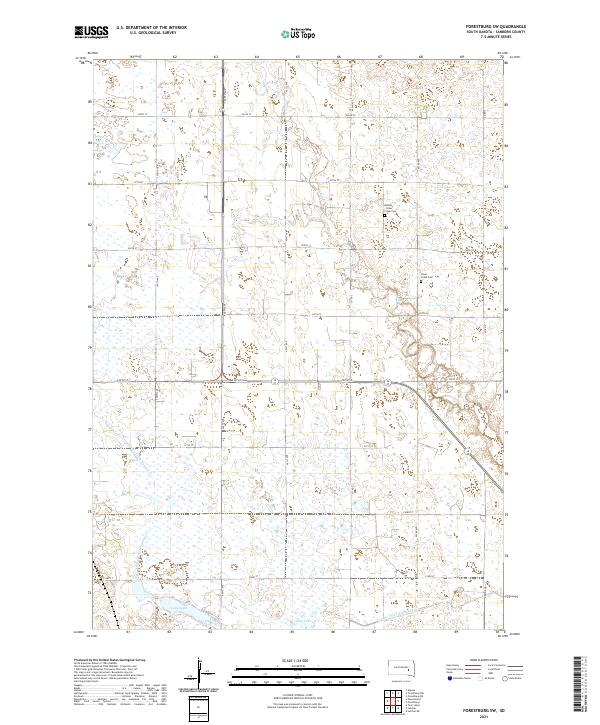
2021 Map of Forestburg SW
USGS Topo · Published 2021About this map
Sand Cr and the waters of Long Lake define this pocket of the eastern Dakotas, where the drainage patterns of County Ditch Number 8 and County Ditch Number 14 illustrate a highly managed agricultural landscape. This portion of Sanborn County is marked by a strict section-line road grid, from 226th St down to 233rd St, which organizes the prairie into distinct agricultural blocks. The presence of the Bethany - Silver Creek Cem and the Silver Creek Cem provides a focal point for genealogical research, indicating the long-standing community ties in this rural township. The interplay between the natural meandering of Sand Cr and the engineered straight lines of the county ditches reveals the history of land reclamation and water management essential for sustaining life and industry on the Great Plains.
Find a feature on this map
20 named features on this map. Tap any name to fly to it.
Don’t see what you’re looking for? This feature index may not catch every label — zoom into the map to look around manually.
Map Details
Editions of this 2021 Forestburg SW Map
This is the sole edition of this map. No revisions or reprints were ever made.
Other maps of this area

1898 · Huron
USGS Topo · 1:125,000

1899 · Mitchell
USGS Topo · 1:125,000

1953 · Huron
USGS Topo · 1:250,000

1954 · Huron
USGS Topo · 1:250,000

1955 · Mitchell
USGS Topo · 1:250,000

1957 · Forestburg NE
USGS Topo · 1:24,000
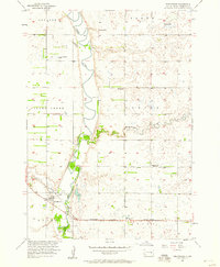
1957 · Forestburg
USGS Topo · 1:24,000

1957 · Letcher NE
USGS Topo · 1:24,000

1958 · Forestburg NW
USGS Topo · 1:24,000

1959 · Mitchell
USGS Topo · 1:250,000
Featured Places
- Logan Township, SD
- Twin Lake Township, SD
- Jackson Township, SD
- Silver Creek Township, SD
- Warren Township, SD