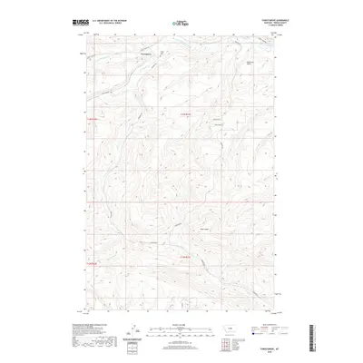
2020 Map of Forestgrove
USGS Topo · Published 2020About this map
The small settlement of Forestgrove sits at the northern edge of this Fergus County landscape, where the waters of the S Fork McDonald Cr and Surenough Cr begin their descent from the higher elevations of the Big Snowy Mountains foothills. This high-plains terrain is defined by dramatic elevation changes, most notably at the prominent McDonald Butte and the deep cuts of Rose Canyon. Local history is anchored at the Forest Grove Cem, which serves as a central landmark for the area's early ranching and homesteading community. A network of rural routes, including Forest Grove Rd and Surenuff Rd, follows the natural contours of the drainages like Tyler Cr and Potter Cr, illustrating how the geography of the creeks dictated the movement and settlement patterns of this central Montana region.
Find a feature on this map
21 named features on this map. Tap any name to fly to it.
Don’t see what you’re looking for? This feature index may not catch every label — zoom into the map to look around manually.
Map Details
Editions of this 2020 Forestgrove Map
This is the sole edition of this map. No revisions or reprints were ever made.
Other maps of this area

1889 · Big Snowy Mountain
USGS Topo · 1:250,000

1893 · Big Snowy Mountain
USGS Topo · 1:250,000

1941 · Judith Peak
USGS Topo · 1:62,500

1944 · Judith Peak
USGS Topo · 1:62,500

1954 · Roundup
USGS Topo · 1:250,000

1954 · Lewistown
USGS Topo · 1:250,000

1958 · Roundup
USGS Topo · 1:250,000

1959 · Lewistown
USGS Topo · 1:250,000

1970 · Forestgrove
USGS Topo · 1:24,000

1970 · South Bench
USGS Topo · 1:24,000