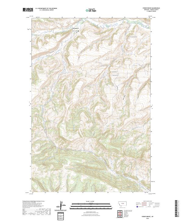
2024 Map of Forestgrove
USGS Topo · Published 2024About this map
Forestgrove sits as a primary point of interest in this Fergus County landscape, where the Forest Grove Cem marks the local heritage of this central Montana community. The terrain is defined by a series of drainages, most notably the South Fork McDonald Creek and the long course of Surenough Creek which cuts through the southern sections. Notable topographical landmarks such as McDonald Butte and the deep cut of Rose Canyon demonstrate the high-relief character of the region. A network of rural routes, including Forest Grove Rd and Surenuff Rd, connects the scattered ranchlands and provides access to the various forks and draws that feed into Tyler Creek and Bear Creek. The map offers a clear view of the complex hydrography and land divisions within t14n r21e and surrounding townships.
Find a feature on this map
20 named features on this map. Tap any name to fly to it.
Don’t see what you’re looking for? This feature index may not catch every label — zoom into the map to look around manually.
Map Details
Editions of this 2024 Forestgrove Map
This is the sole edition of this map. No revisions or reprints were ever made.
Other maps of this area

1889 · Big Snowy Mountain
USGS Topo · 1:250,000

1893 · Big Snowy Mountain
USGS Topo · 1:250,000

1941 · Judith Peak
USGS Topo · 1:62,500

1944 · Judith Peak
USGS Topo · 1:62,500

1954 · Roundup
USGS Topo · 1:250,000

1954 · Lewistown
USGS Topo · 1:250,000

1958 · Roundup
USGS Topo · 1:250,000

1959 · Lewistown
USGS Topo · 1:250,000

1970 · Forestgrove
USGS Topo · 1:24,000

1970 · South Bench
USGS Topo · 1:24,000