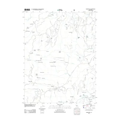
2012 Map of Foresthill
USGS Topo · Published 2012About this map
Foresthill and Iowa Hill anchor this California Gold Country landscape, situated on the high ridges above the N Fork American River and the Middle Fork American River. The map documents a topography defined by steep canyons and historical mining claims, including the Small Hope Mine and the legacy of industrial processing at Hughes Mill. The road network follows the arduous terrain of the Sierra Nevada foothills, connecting older settlements like Yankee Jims and Monona Flat via routes such as Yankee Jims Rd and Iowa Hill Rd.
Find a feature on this map
104 named features on this map. Tap any name to fly to it.
Don’t see what you’re looking for? This feature index may not catch every label — zoom into the map to look around manually.
Map Details
Editions of this 2012 Foresthill Map
This is the sole edition of this map. No revisions or reprints were ever made.
Other maps of this area

1891 · Colfax
USGS Topo · 1:125,000

1891 · Placerville
USGS Topo · 1:125,000

1892 · Placerville
USGS Topo · 1:125,000

1892 · Colfax
USGS Topo · 1:125,000

1893 · Placerville
USGS Topo · 1:125,000

1894 · Colfax
USGS Topo · 1:125,000

1898 · Colfax
USGS Topo · 1:125,000

1900 · Colfax
USGS Topo · 1:125,000

1902 · Colfax
USGS Topo · 1:125,000

1938 · Colfax
USGS Topo · 1:125,000