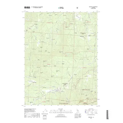
2018 Map of Foresthill
USGS Topo · Published 2018About this map
Iowa Hill and Foresthill stand as primary settlements in this high-relief landscape above the river forks. This 2018 survey details the steep canyons and ridges between the North Fork American River and the Middle Fork American River, highlighting a region shaped by gold mining history. Significant landmarks include the Iowa Hill Cem and Foresthill Protestant Cem, while the rugged geography is marked by North Shirttail Canyon, Blackhawk Canyon, and Sugar Pine Canyon. The map traces the winding paths of Iowa Hill Rd and Forest Hill Divide Rd, which navigate the complex terrain of both the Tahoe National Forest and Eldorado National Forest. Local industrial and social points are noted through features like Hughes Mill and the Small Hope Mine, providing a clear view of how these mountain communities integrated with the surrounding timber and mineral lands.
Find a feature on this map
134 named features on this map. Tap any name to fly to it.
Don’t see what you’re looking for? This feature index may not catch every label — zoom into the map to look around manually.
Map Details
Editions of this 2018 Foresthill Map
This is the sole edition of this map. No revisions or reprints were ever made.
Other maps of this area

1891 · Colfax
USGS Topo · 1:125,000

1891 · Placerville
USGS Topo · 1:125,000

1892 · Placerville
USGS Topo · 1:125,000

1892 · Colfax
USGS Topo · 1:125,000

1893 · Placerville
USGS Topo · 1:125,000

1894 · Colfax
USGS Topo · 1:125,000

1898 · Colfax
USGS Topo · 1:125,000

1900 · Colfax
USGS Topo · 1:125,000

1902 · Colfax
USGS Topo · 1:125,000

1938 · Colfax
USGS Topo · 1:125,000